Hiking Trails
The best trails for hiking in Tenerife
30 places
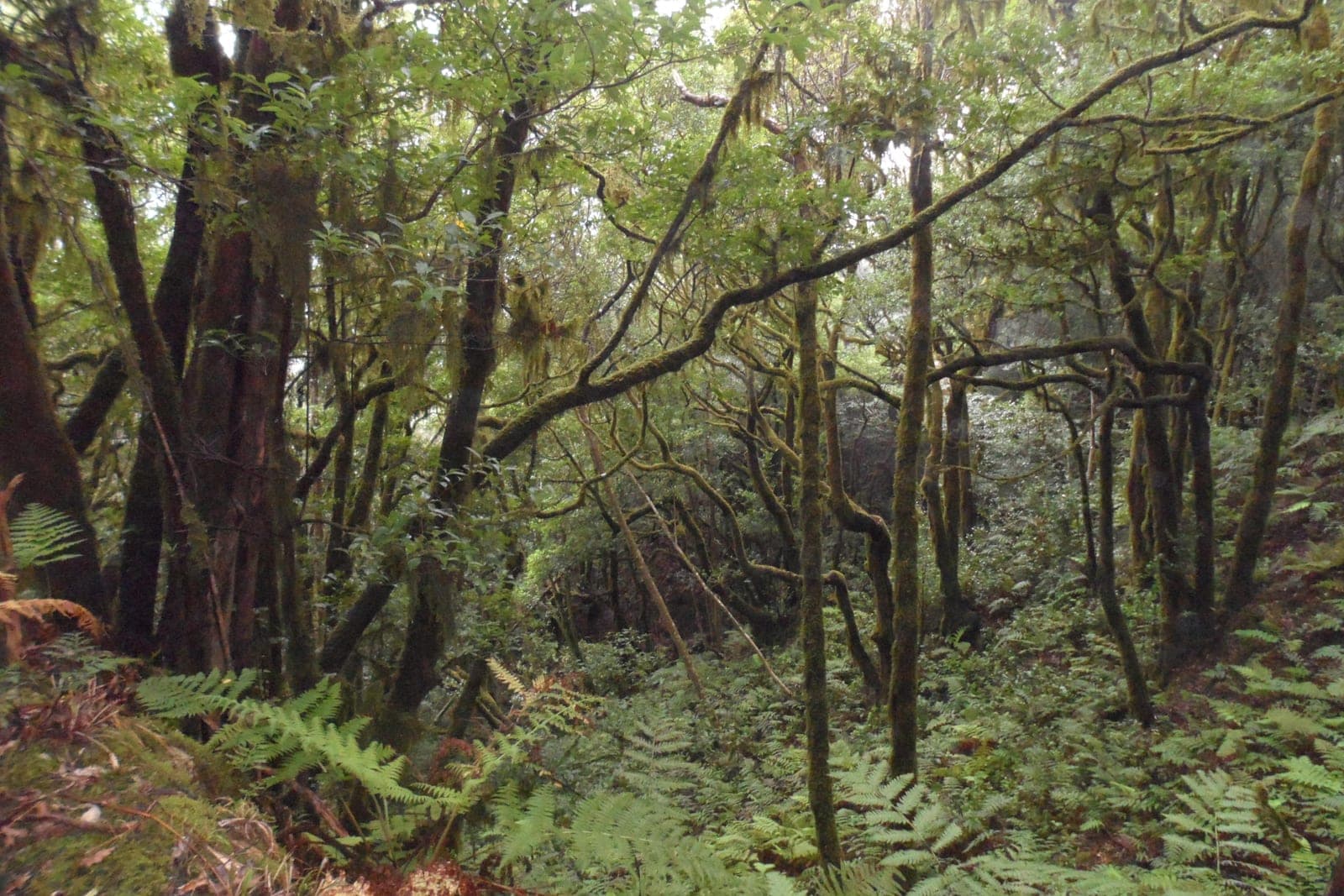
Trail of the Senses, Anaga
Easy trail through the Anaga laurel forest, perfect for families
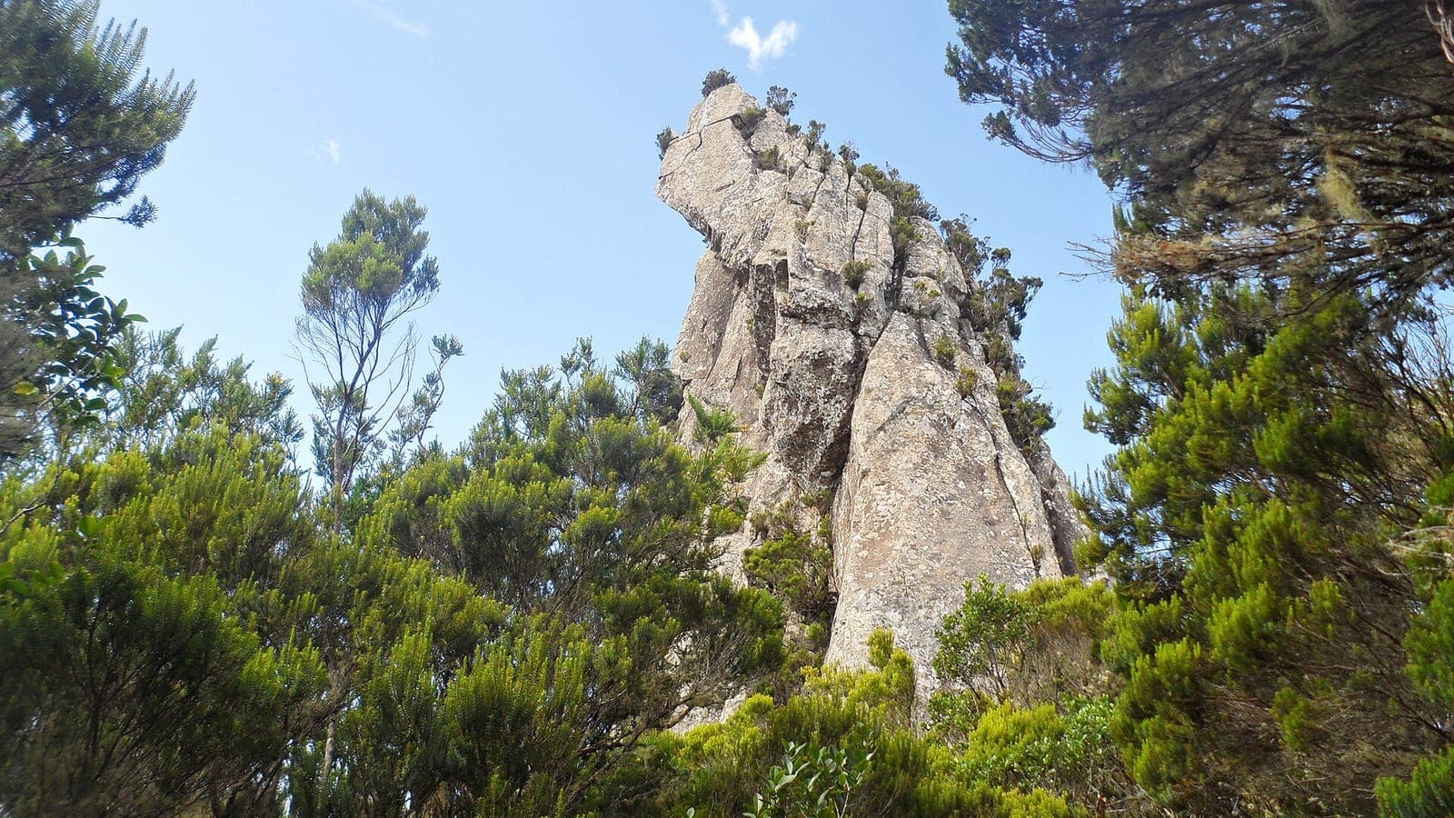
Roque Anambro
Prominent volcanic crag in the El Pijaral area of the Anaga massif, visible from the trails of Anaga Rural Park.
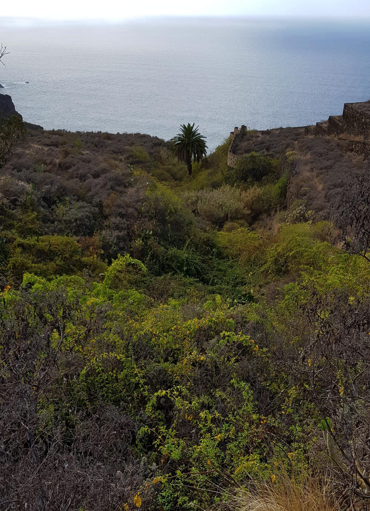
Barranco de Acentejo
This deep ravine running down from the highlands toward the northern coast is the historical heart of the municipality: here, in May 1494, the First Battle of Acentejo was fought, where the Guanche troops of Mencey Bencomo and his brother Tinguaro inflicted on Alonso Fernandez de Lugo's army one of the greatest defeats of the conquest of the Canary Islands. The dense woodland and the rugged terrain made possible the ambush that gave its name to "La Matanza" (The Slaughter). Today its slopes, dotted with vineyards and vegetation, still carry that epic resonance handed down by the chronicles and by tradition for centuries. The site was declared a Cultural Heritage Site in 2007 for its historical value, and exploring its surroundings means stepping into one of the founding episodes of Tenerife's identity.
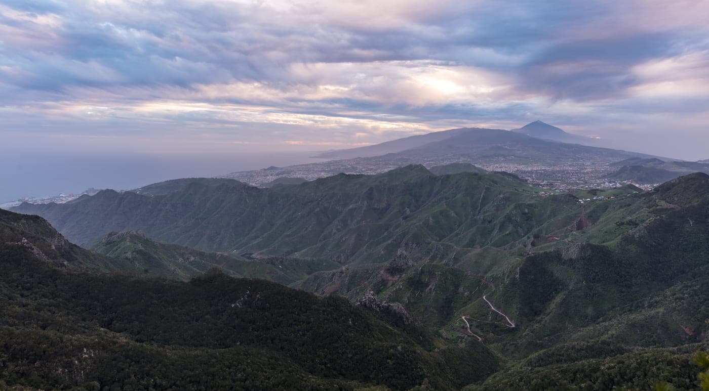
Parque Rural de Anaga
To the north, Tegueste's mid-slopes climb towards the Anaga massif, one of the oldest formations in Tenerife, which emerged between seven and nine million years ago. Tegueste shares a small portion of this protected area —around 6.5% of the Anaga Rural Park— together with Santa Cruz de Tenerife and La Laguna. Declared a Biosphere Reserve by UNESCO in 2015, Anaga stands out for its laurel forest (laurisilva), its rugged ravines and ridges, and an extraordinary biodiversity with numerous endemic species. A dense network of well-marked trails, accessible from Tegueste's mid-slopes such as Pedro Álvarez or Las Toscas, allows you to enter this humid-forest landscape and enjoy spectacular views over the valley and the coast.
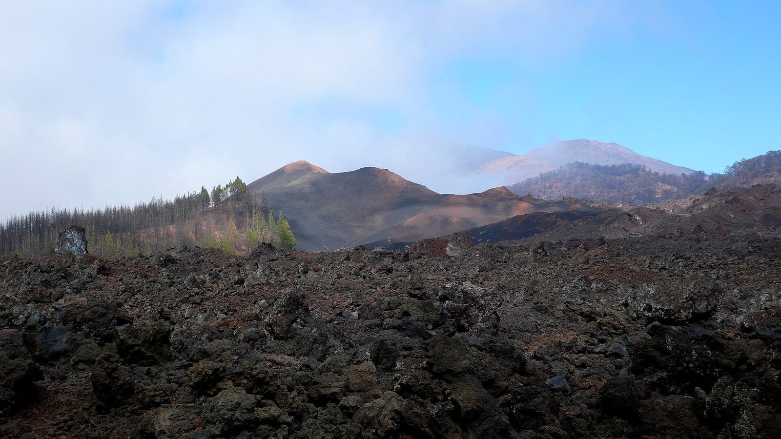
Volcán Chinyero
Volcanic cone of the Chinyero Special Nature Reserve, site of Tenerife's last eruption in 1909; encircled by the PR-TF 43 loop trail through lava flows and Canary pine forest.
GR-131 (Island crossing / hiking trail)
Certified long-distance trail crossing the island from La Esperanza to Arona, passing through Teide.
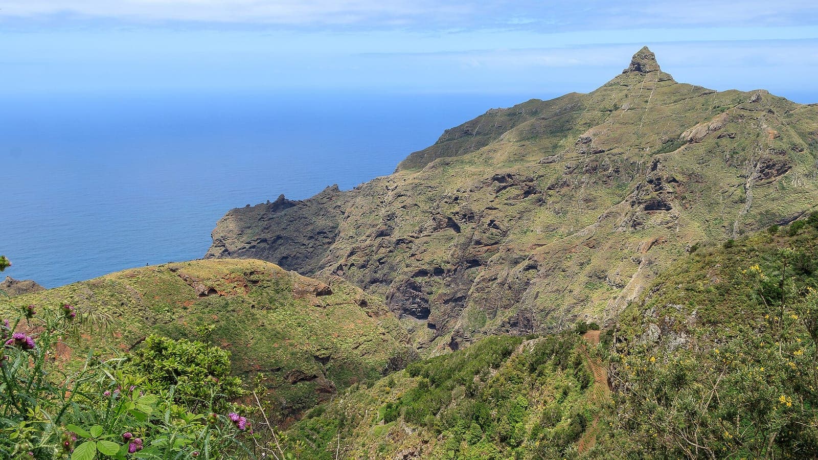
Roque de Taborno
Iconic rocky peak in the Anaga massif, nicknamed the 'Matterhorn of Anaga', reached by a short steep trail from the hamlet of Taborno.
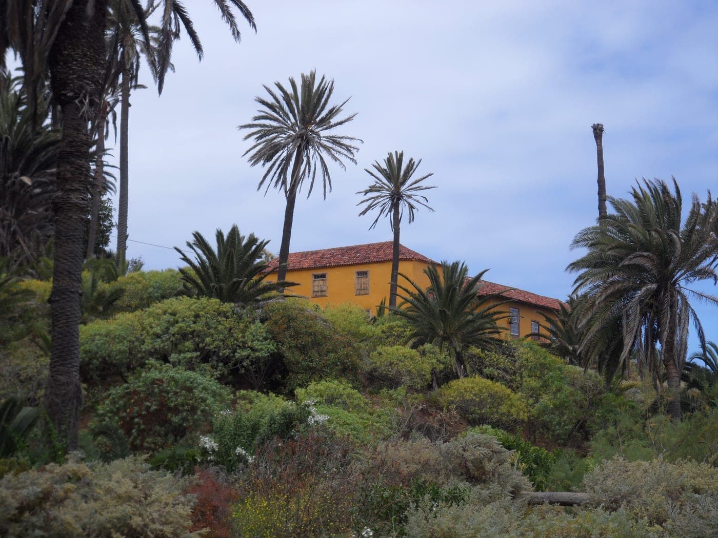
Rambla de Castro
A Protected Landscape of about 46 hectares that is one of the most valuable natural and heritage spots in Los Realejos.
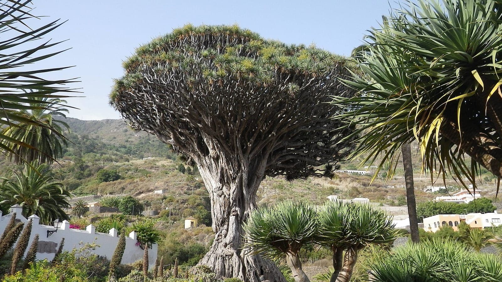
Drago Milenario de Icod de los Vinos
Largest and oldest specimen of Dracaena draco, located in the Parque del Drago in Icod de los Vinos and declared a national monument in 1917.
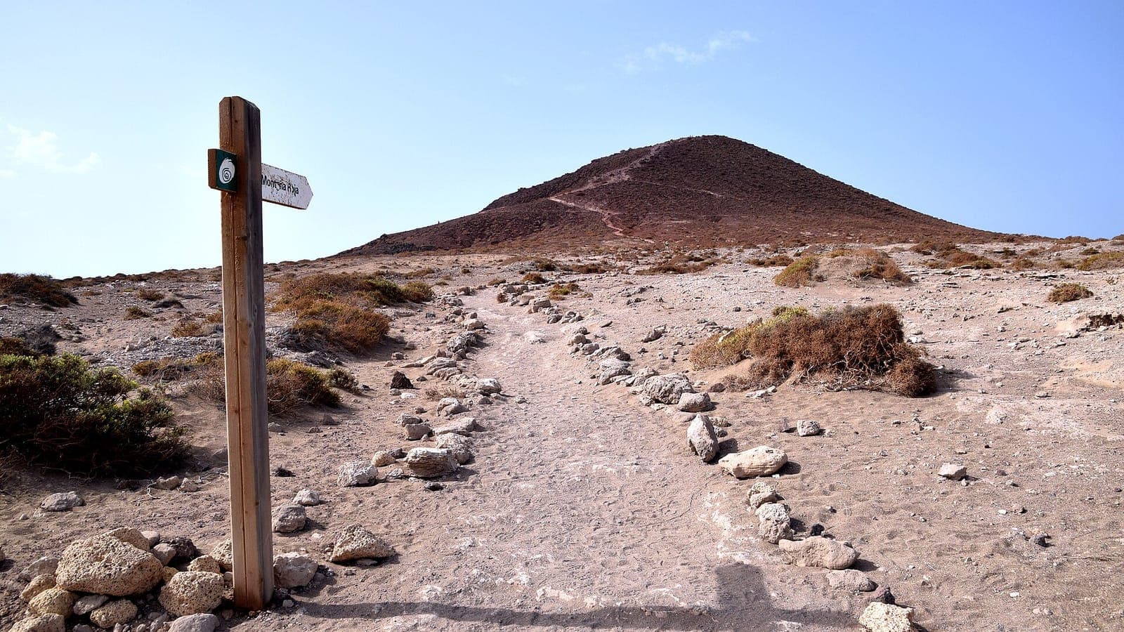
Montaña Roja
Volcanic cone of about 171 m next to El Médano, designated a special nature reserve; a trail climbs to the summit with views over La Tejita and El Médano beaches.
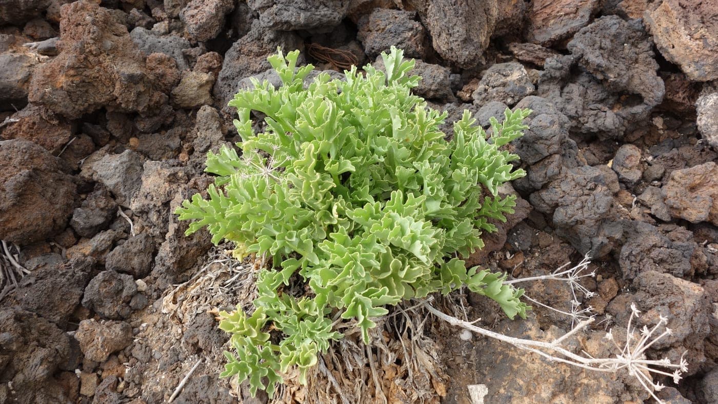
Malpaís de Güímar
Along the municipality's coast lies this Special Nature Reserve, a landscape of purely volcanic origin covering about three square kilometres.
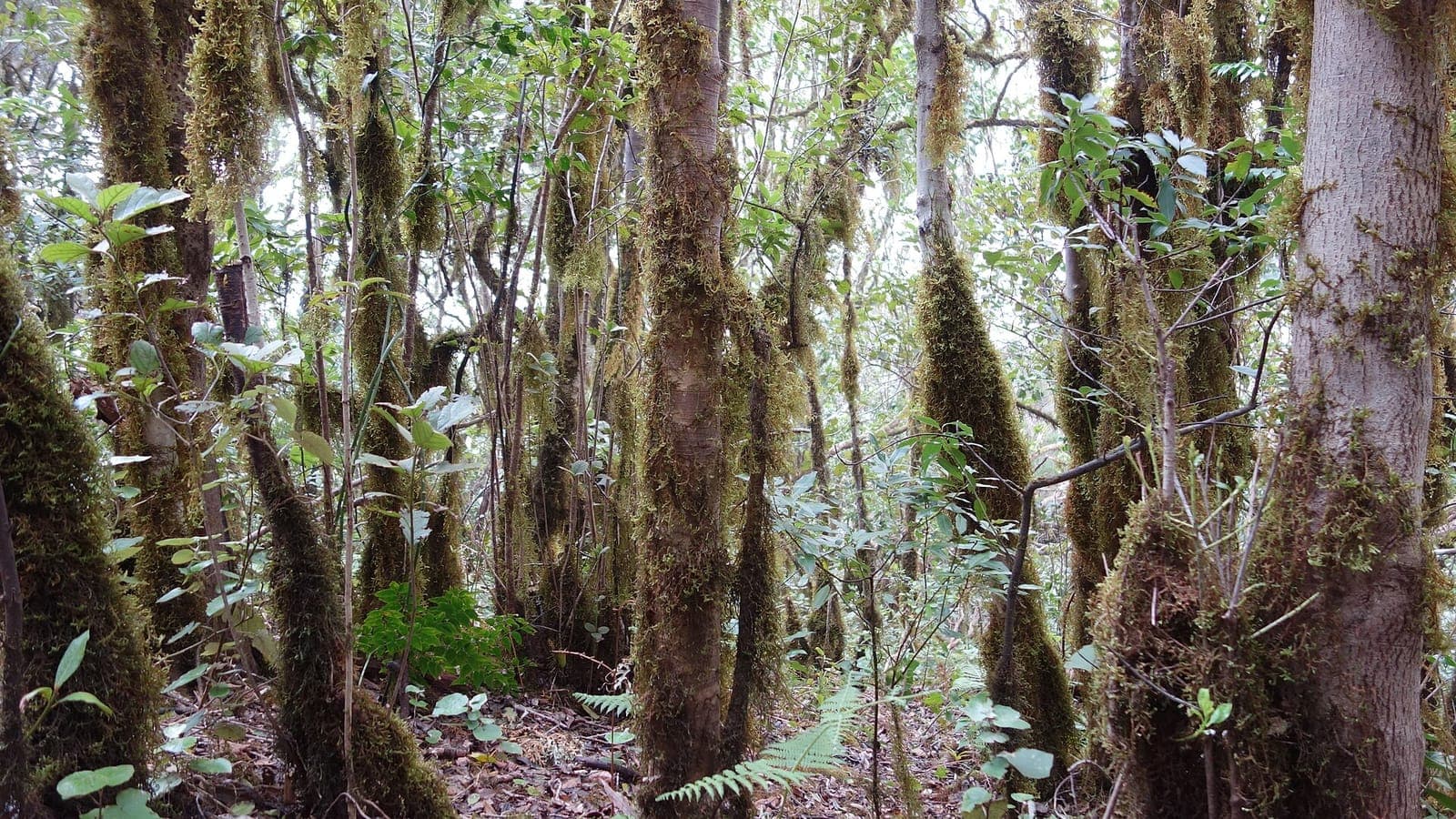
El Pijaral (Bosque Encantado)
Integral Nature Reserve of laurel forest in the Anaga massif known as the Enchanted Forest; the loop trail requires a free advance permit from the Cabildo with a limited daily quota.
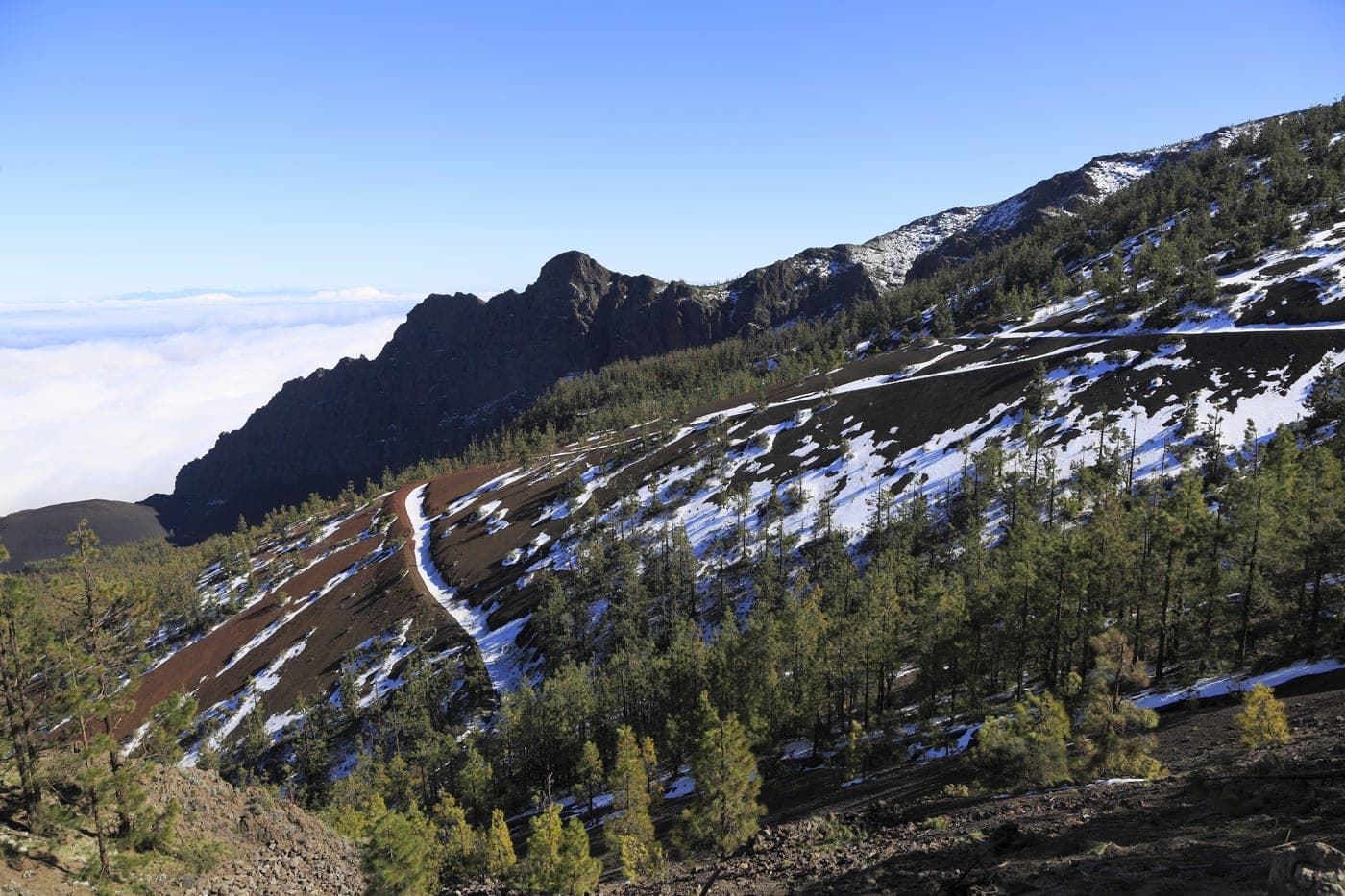
Camino Histórico de Candelaria
The Historic Road to Candelaria, also called the Royal Road or Old Road to Candelaria, is one of Tenerife's oldest and most emblematic pilgrimage routes, and it runs right through the municipality of El Rosario. At just over twenty-one kilometres, it links La Laguna and Santa Cruz with the Marian town of Candelaria, and since the 16th century it has been the lifeline of the devotees of the Patroness of the Canary Islands. The Rosary hermitage in Machado arose alongside it, already giving rest to pilgrims by around 1534. Part of its route has been declared an Asset of Cultural Interest with the category of Historic Site since 2008. The Cabildo (Island Council) of Tenerife has rehabilitated it in recent years —removing invasive species, improving the surface and installing new signage— for a safer pilgrimage, especially ahead of the great festivity of 15 August, which gathers more than 100,000 people on their way to the sanctuary.
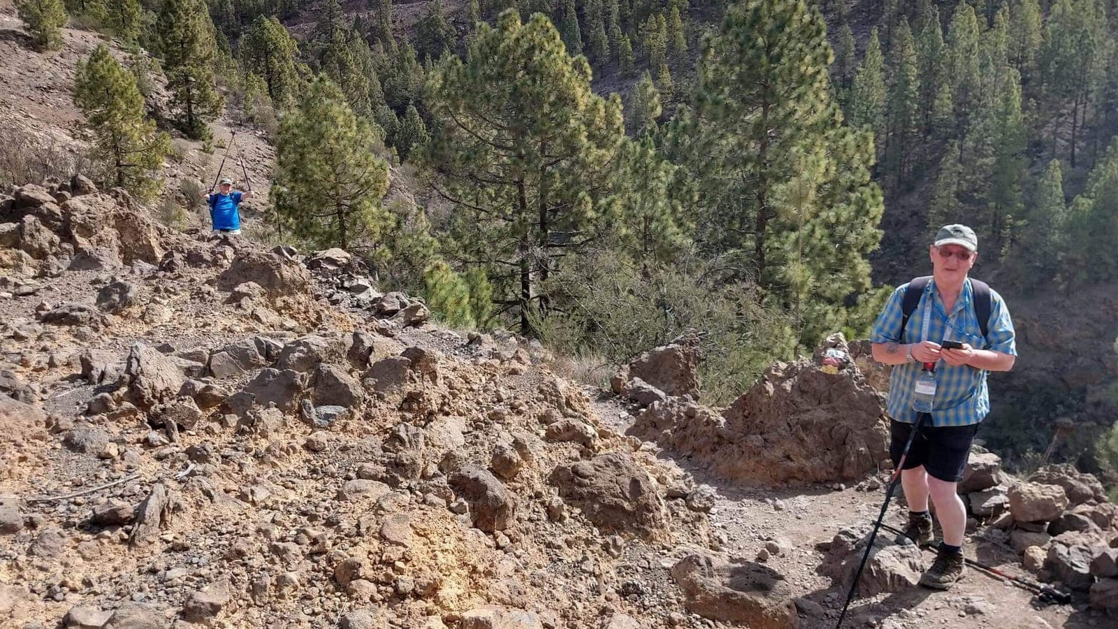
Paisaje Lunar (Paisaje Lunar de Vilaflor)
Eroded volcanic tuff formations shaped into conical pinnacles within the Corona Forestal; reached by the PR-TF 72 trail starting from Vilaflor.
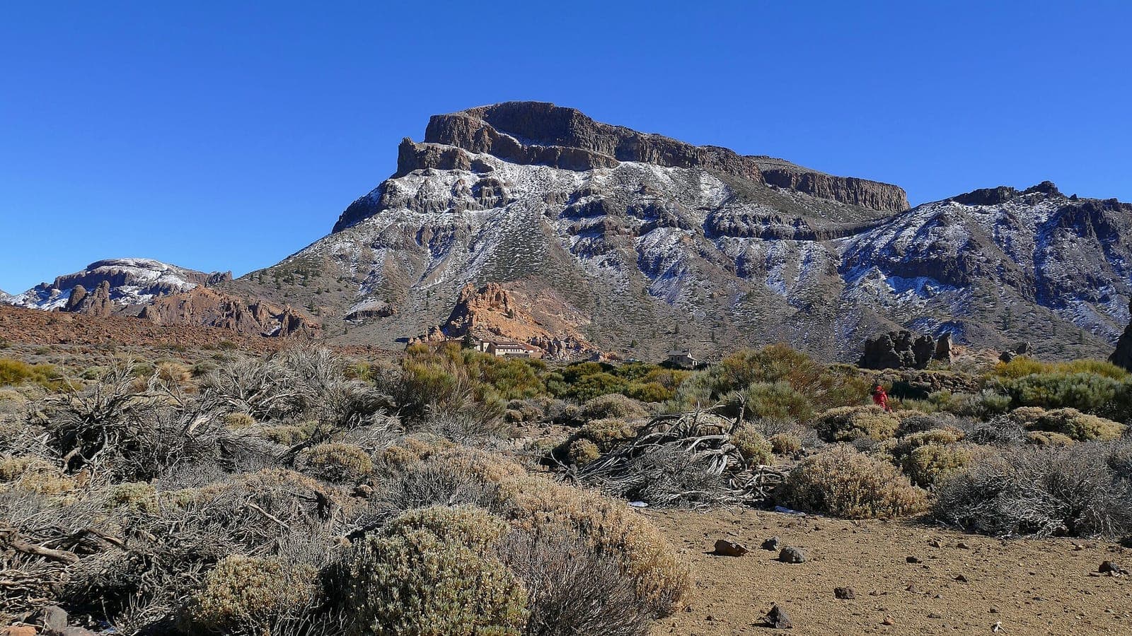
Montaña Guajara (Alto de Guajara)
Tenerife's fourth-highest peak (2,718 m) on the rim of the Las Cañadas caldera; a classic ascent from the Parador with sweeping views of Teide.
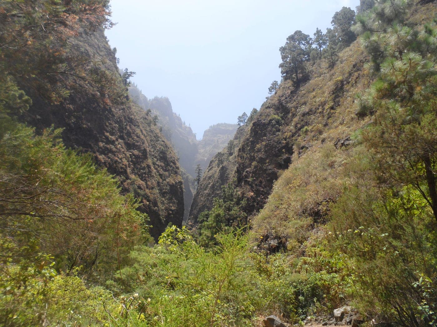
Barranco de Añavingo
This is Arafo's main watercourse and one of its most valuable natural spots. Its springs, already mentioned in the land distributions of 1504, have supplied water to this south-eastern part of Tenerife since time immemorial, through galleries and channels dug from the 16th century onward. The ravine preserves remarkable vegetation, with Canary pine, heather, rockrose and remnants of laurel forest, and a fauna of lizards, birds, bees and butterflies. Along its bed runs a much-loved trail that, in about 3 km, leads to the chapel of San Agustín, linked since 1751 to a rogation for water. The full route exceeds 8 km and lets you venture into a rugged landscape of great beauty, a testament to the town's historic struggle for water.
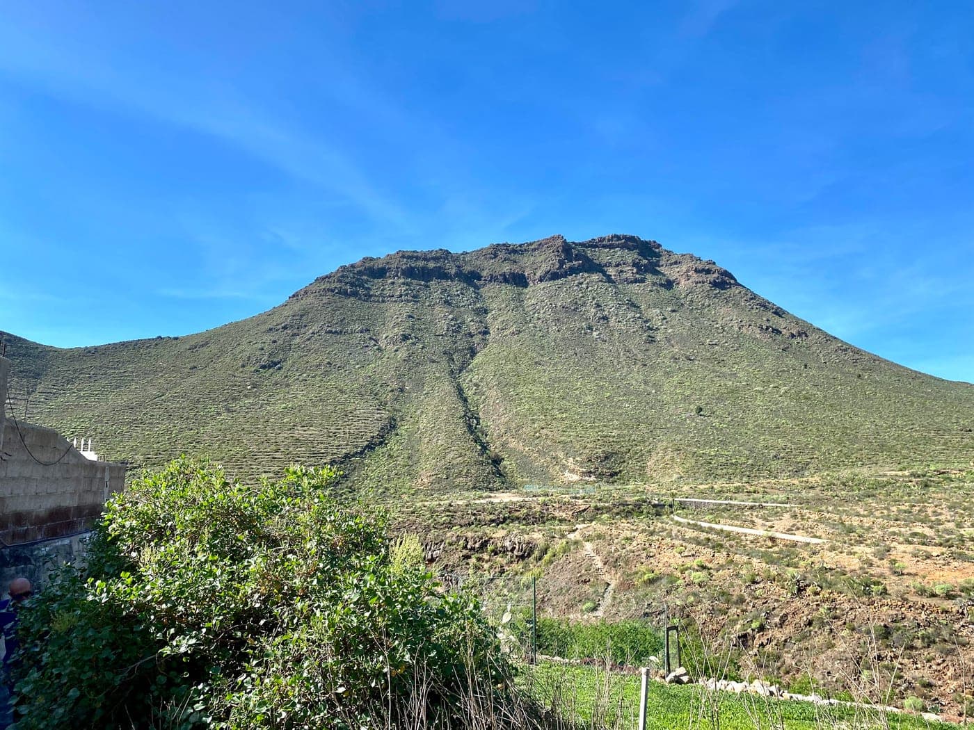
Roque del Conde
The Roque del Conde is an imposing flat-topped mountain rising to about 1,001 metres above sea level, dominating the Adeje massif within the area of the Barranco del Infierno Special Nature Reserve.
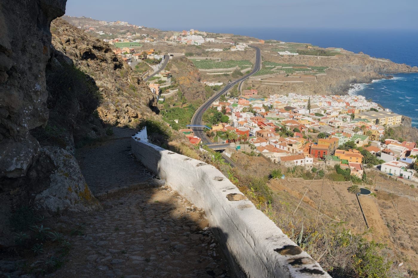
Risco del Mazapé
An imposing inland cliff that dominates the municipality's landscape and can be admired from Las Aguas and the El Mazapé viewpoint, with wide views of the north coast.
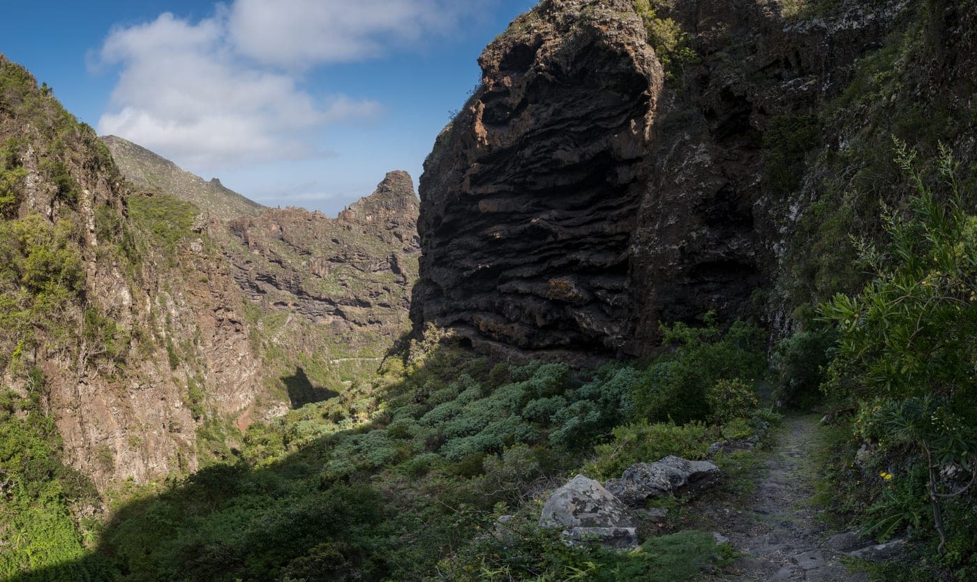
Senderos del Parque Rural de Teno
Los Silos is one of the gateways to the Teno Rural Park, one of the best-preserved natural areas in Tenerife. Historic routes set off from the town, climbing through ravines and old cobbled paths towards the midlands and the high country. The most representative trail is the PR-TF 53 Los Silos – Cuevas Negras – Erjos, which crosses the Cuevas Negras ravine, with its traditional cave-houses, and ends at Erjos, beside the famous pools: former clay-extraction pits reclaimed by nature, now seasonal wetlands that host aquatic and migratory birds at around 950 metres altitude. The route offers spectacular panoramas of the Isla Baja, laurel forest, heath and fayal-brezal woodland, and reveals the contrast between the green of the midlands and the blue of the ocean.
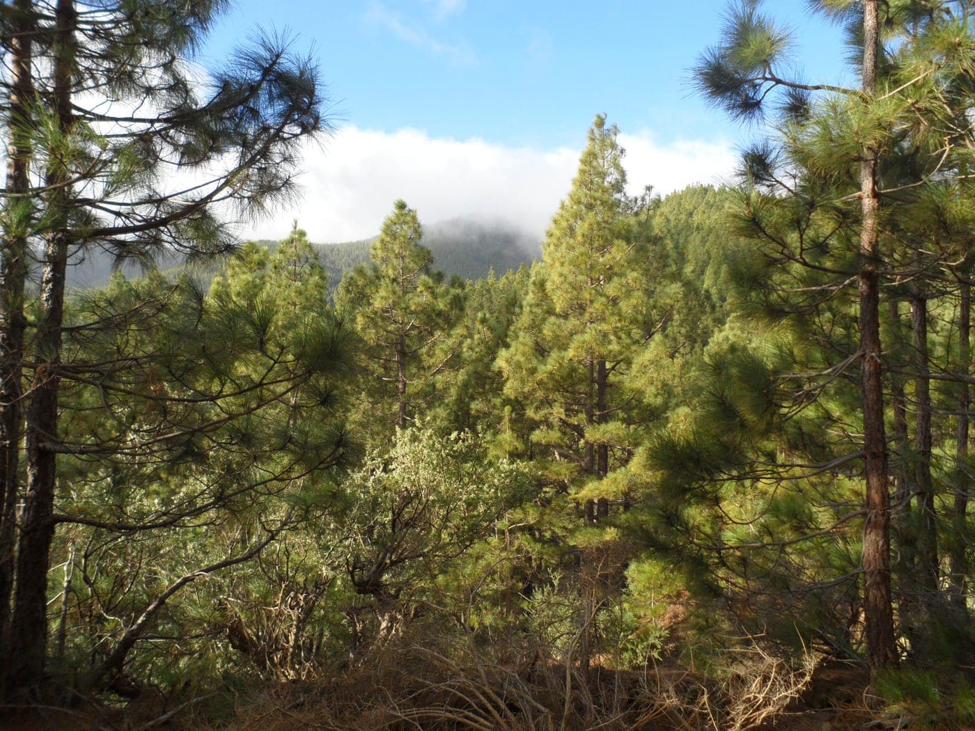
Corona Forestal y senderos hacia la cumbre
Above the town of Arafo stretches the Corona Forestal Natural Park, the largest protected area in the Canary Islands, which surrounds Teide National Park. From the municipality, roads and trails climb up the ridge to the summit, crossing a magnificent Canary pine forest that gives way, at high altitude, to the badlands and panoramic views of Teide. It is an ideal territory for hiking and cycle touring, with routes that connect the agricultural midlands and the former communal woodlands reforested in the mid-20th century. The contrast between the coast, the flower-filled town centre, the Añavingo ravine and the high mountain makes Arafo a natural gateway to the heart of Tenerife and the Teide area.
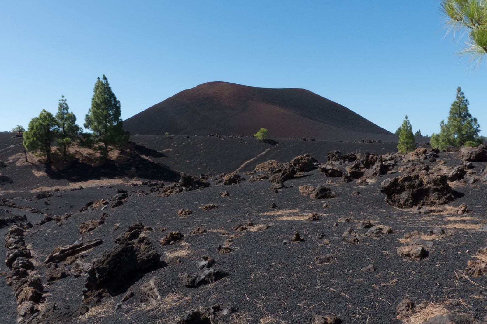
Black Sand Route, Teide
Walk on volcanic black sand in a lunar landscape at Teide
Hell's Gorge Trail
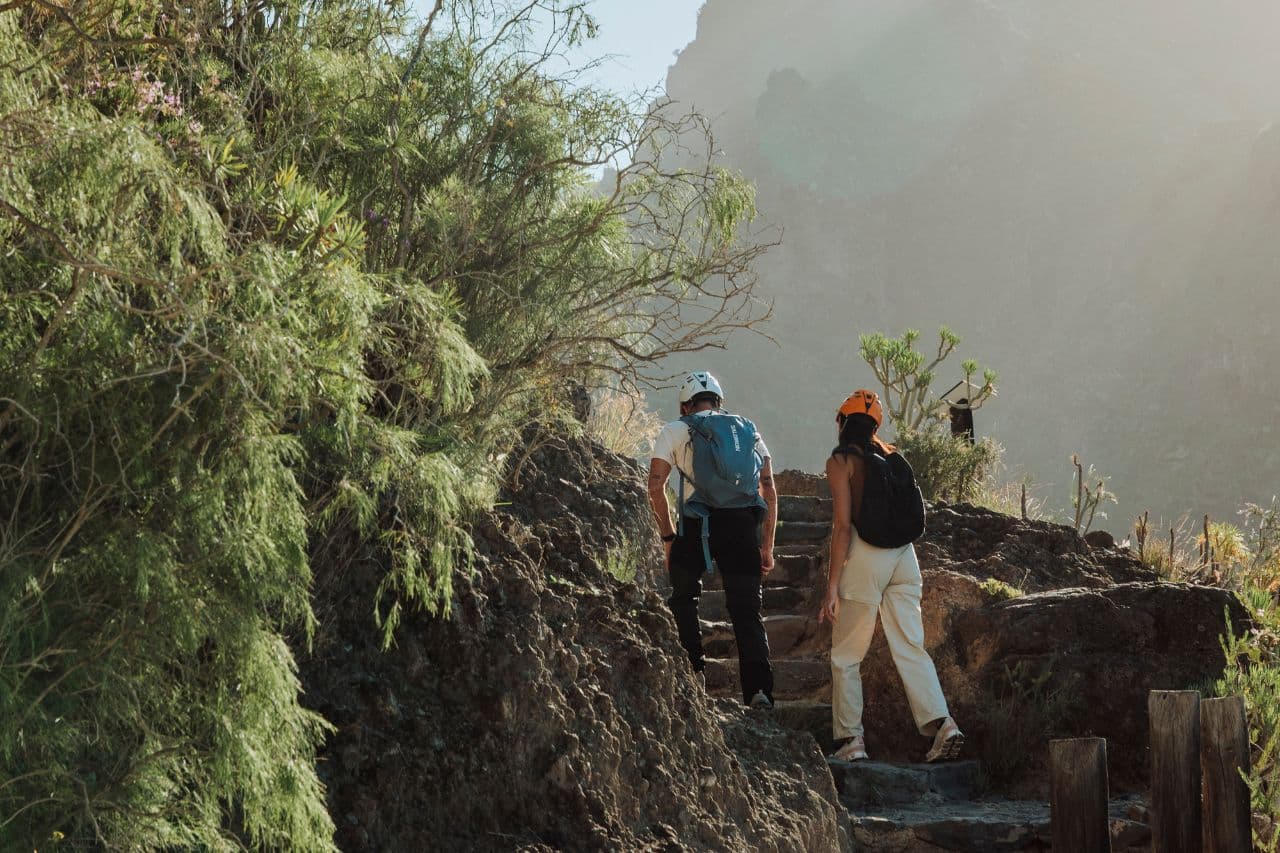
Gorge with Tenerife's highest waterfall
Royal Road Güímar-Fasnia
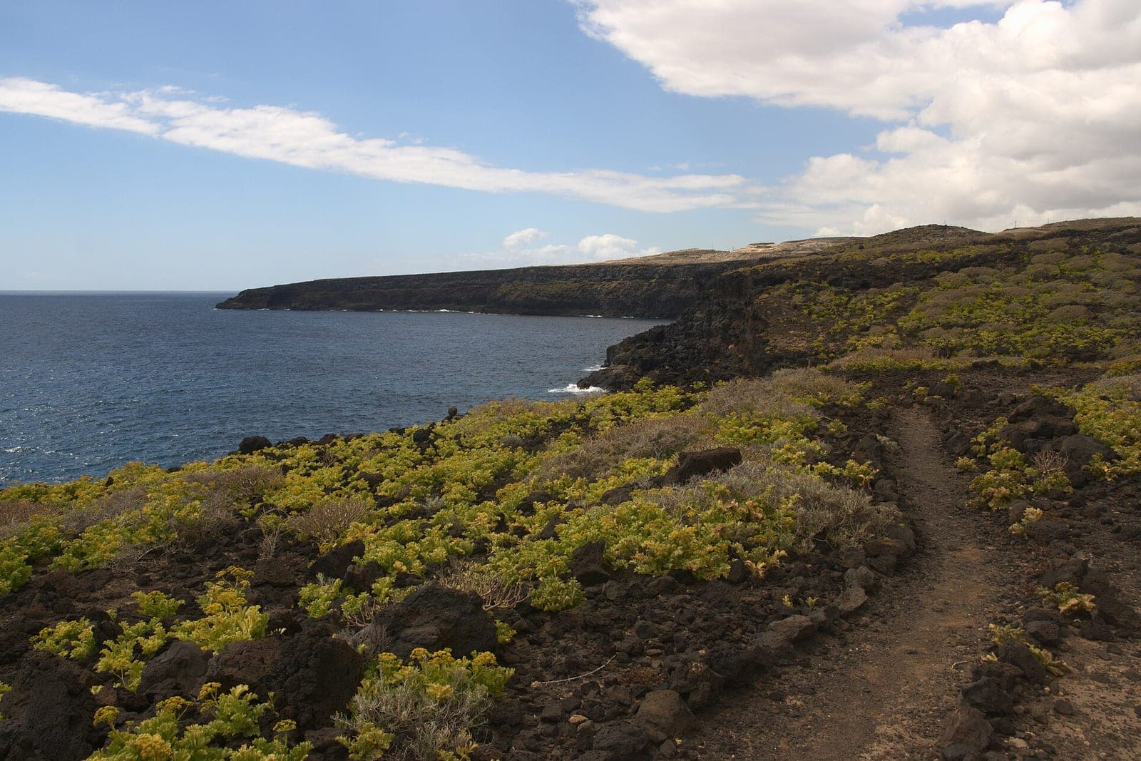
Historic royal path through the inland midlands between Fasnia and El Escobonal (Güímar).
Hiking & trekking
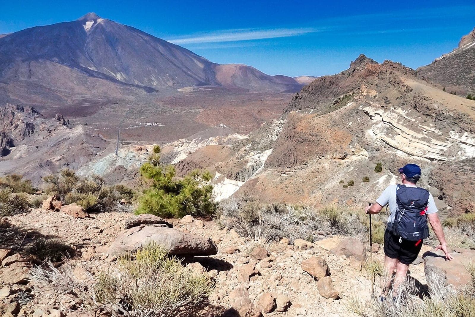
From the Anaga laurel forest to the Teide crater: the island is a walker’s paradise.
Teno Alto Trail
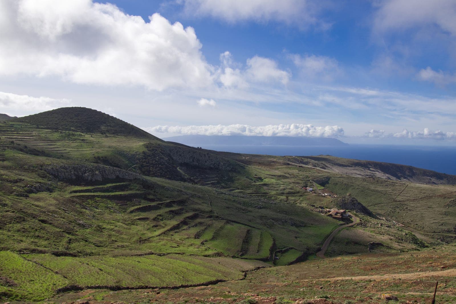
Remote western trail with spectacular views of La Gomera
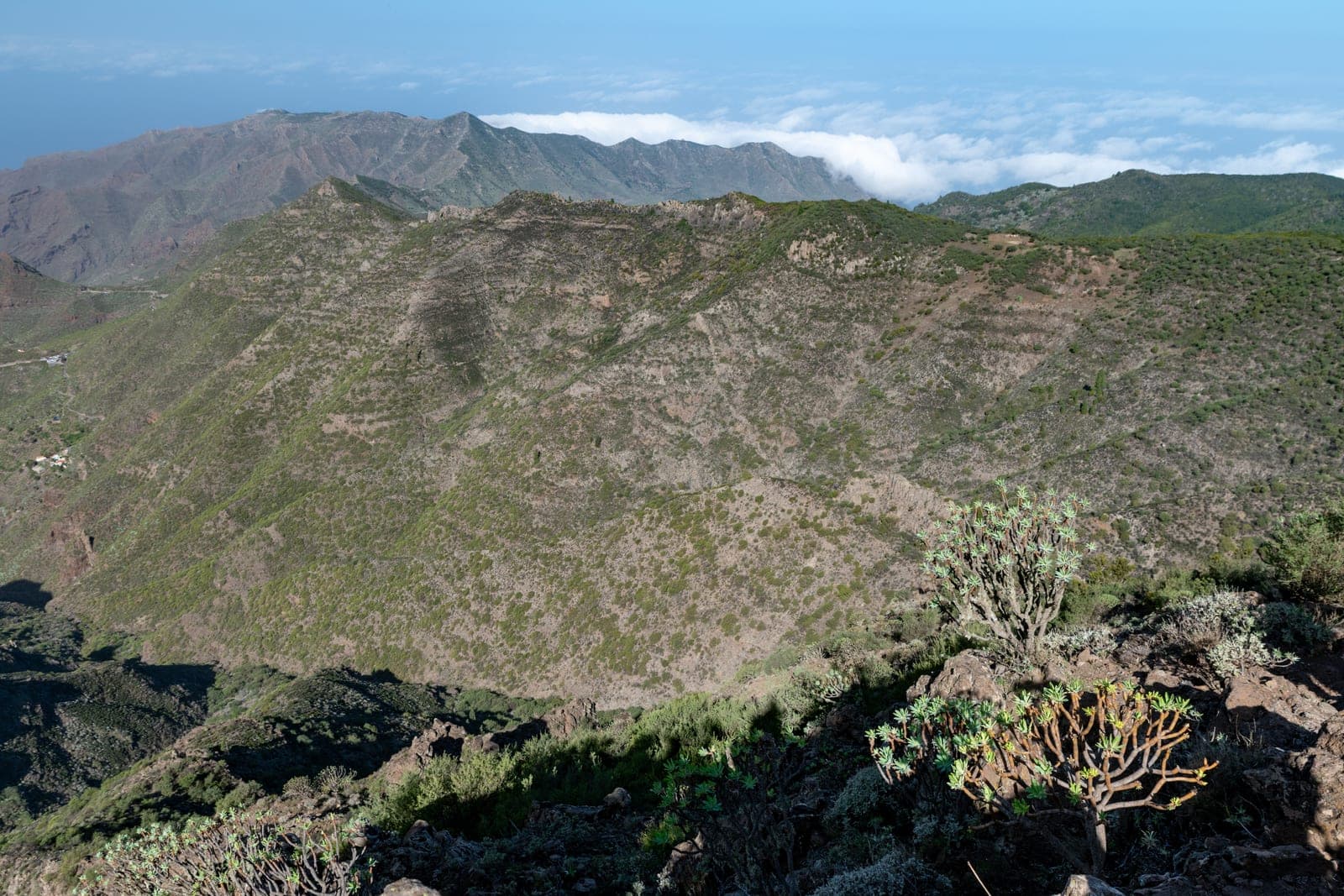
Erjos Circular Trail
Mountain circular connecting Teno with Santiago del Teide
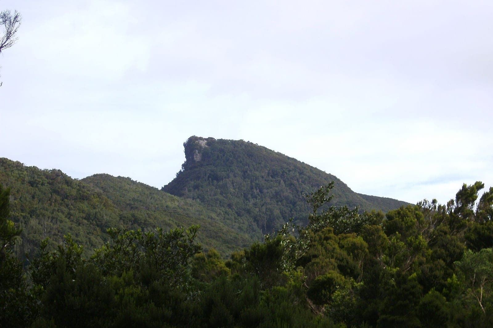
Chinobre Trail, Anaga
One of the peaks of the Anaga massif (909 m), with 360° views over both coasts.
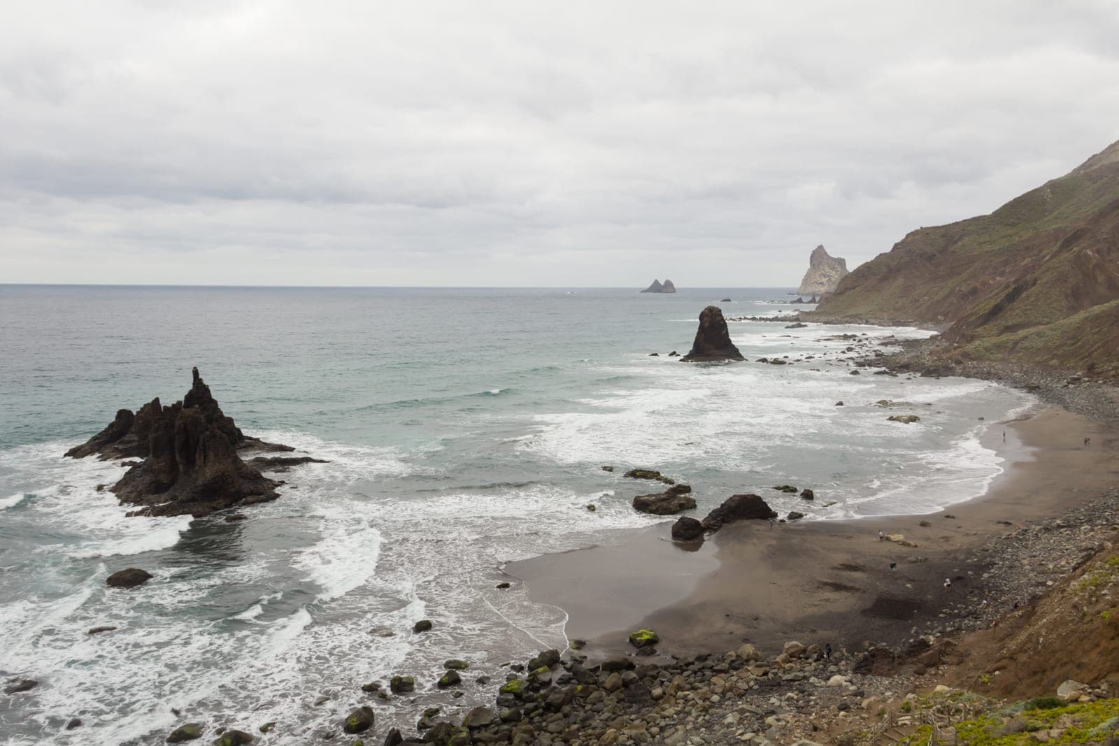
Taganana to Benijo Route
Coastal walk from Taganana to the famous Benijo beach
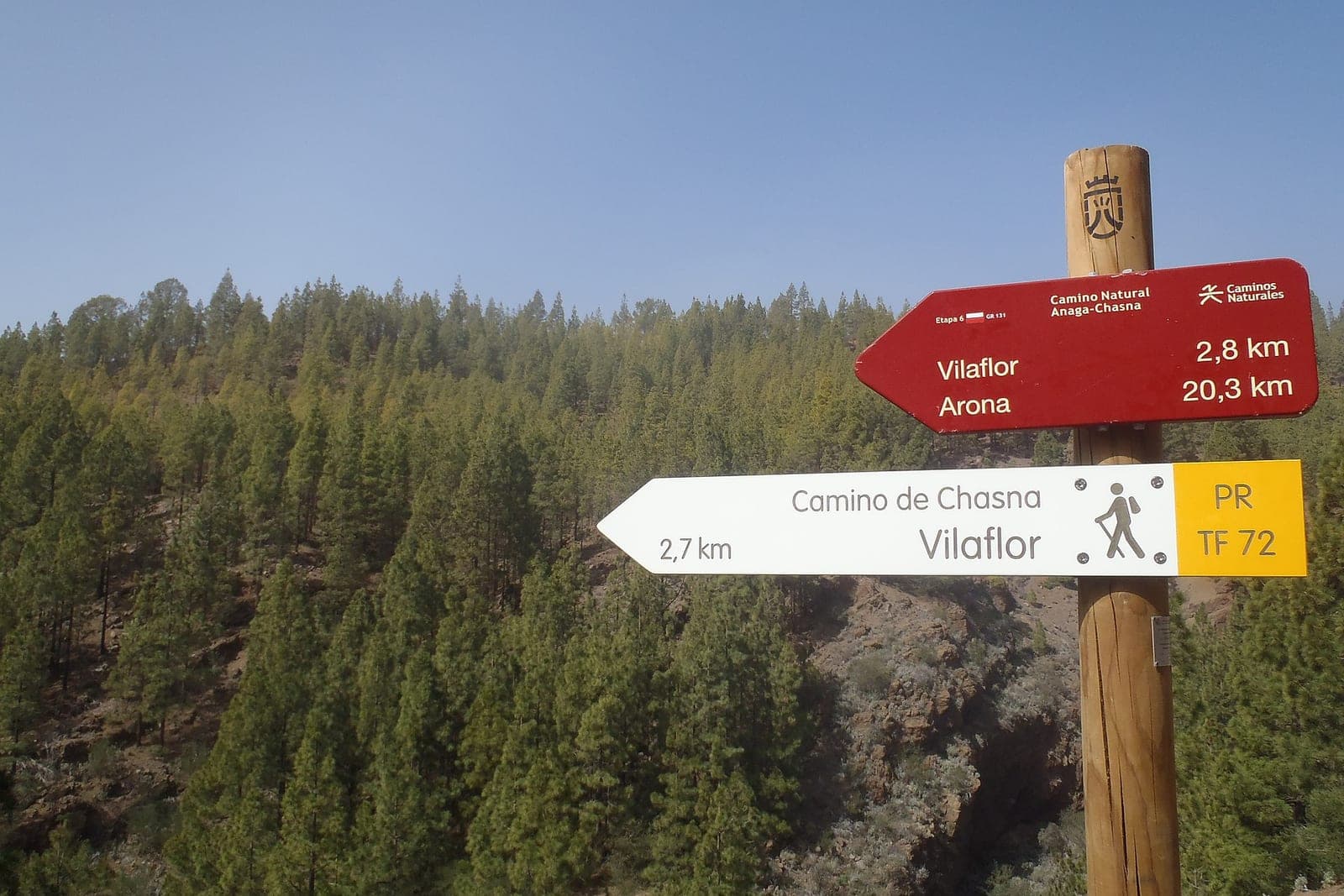
Royal Road of Chasna
Circular route from Vilaflor to the Paisaje Lunar along stretches of the old Camino Real de Chasna.
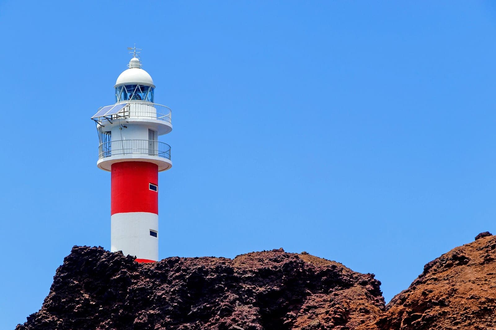
Punta de Teno Lighthouse Hike
Tenerife's westernmost point, with dramatic cliffs and the Teno lighthouse.
Book your Tenerife experience
Activities, tours and tickets with free cancellation.
Affiliate links: if you book through this block, GetYourGuide pays us a commission. It costs you no more.
See activities and tickets on GetYourGuide