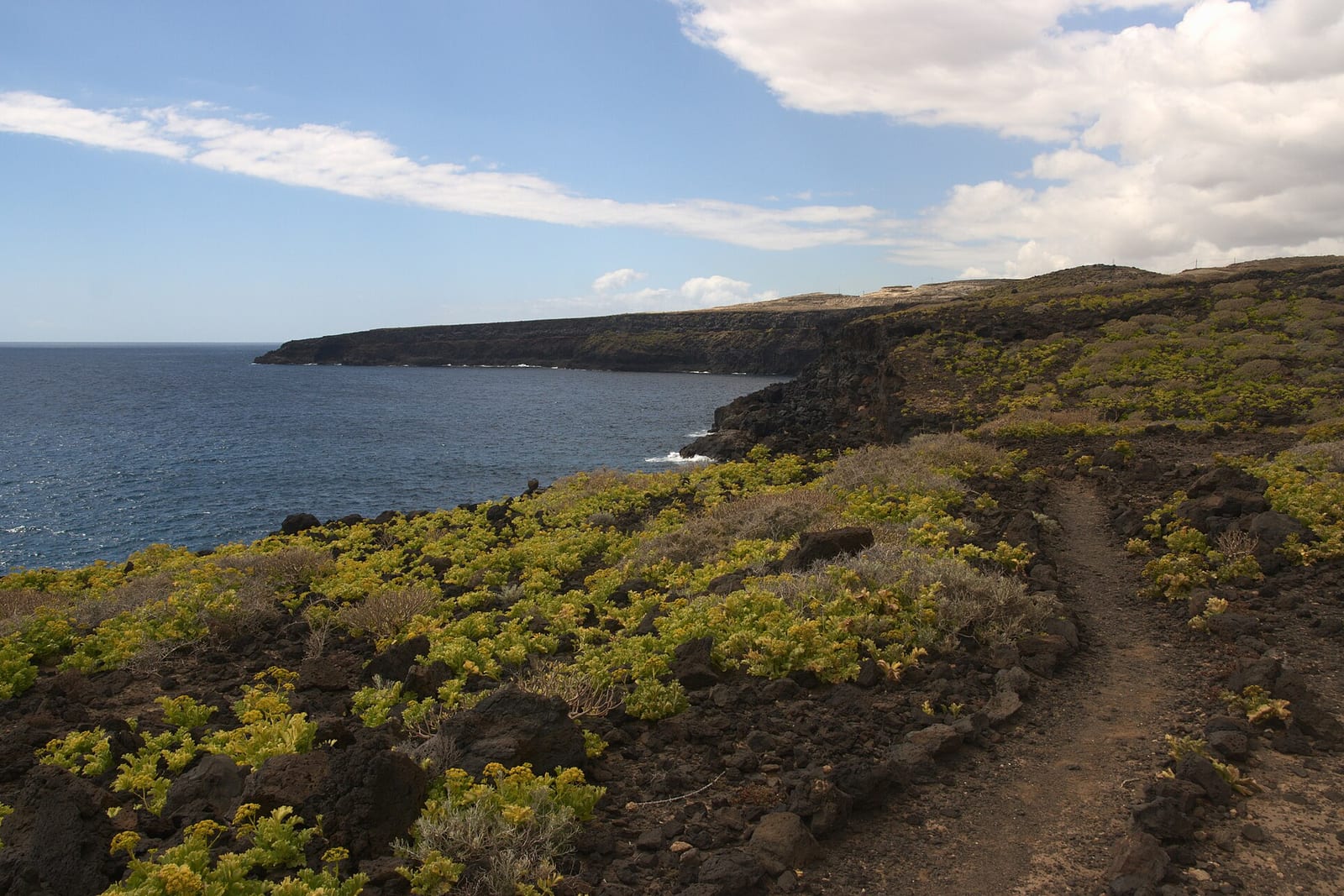
Royal Road Güímar-Fasnia
The Camino Real del Sur between Fasnia and Güímar is part of the ancient historical trail that connected the entire south of Tenerife, from Granadilla de Abona to Güímar, laid out during the 17th and 18th centuries, with preserved cobblestone sections showcasing the quality of those communication routes. Unlike a coastal route, the path runs through the midlands of the Agache and Fasnia region, ascending from the town center towards the interior between old farmlands, pastures, and rural landscapes. The marked itinerary covering this section is the homologated trail SL-TF 263 'Fasnia – El Escobonal', about 5.4 km and of medium difficulty (around 2 h 20 min), starting at the Plaza de la Iglesia de San Joaquín (Fasnia, 427 m) and ending at the Plaza de la Iglesia de El Escobonal (Güímar, 510 m).
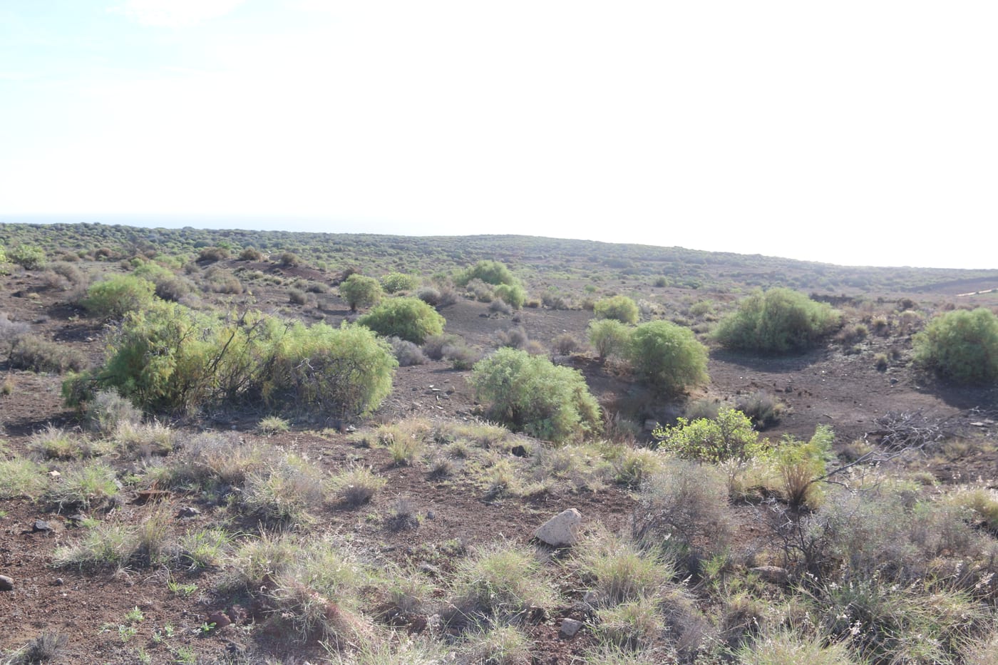
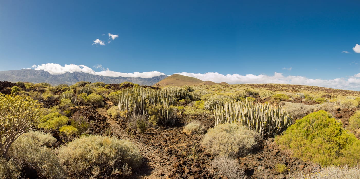
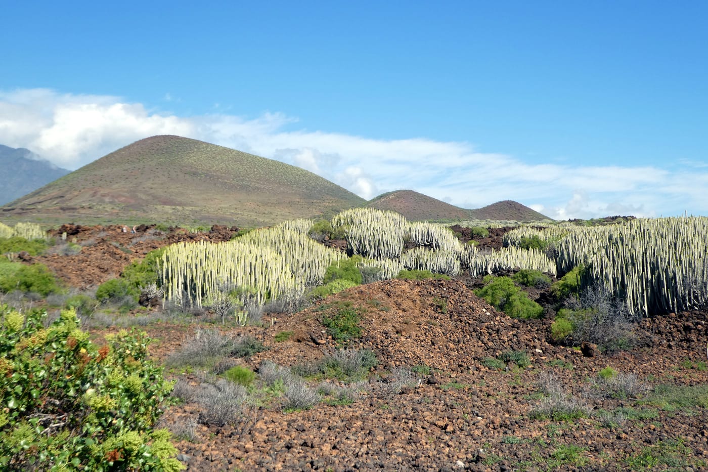
Along the way, you pass through places of notable interest such as the Barranco de Herques, the natural border between the two municipalities, the Montaña de Béñamo, the Ermita Vieja de San José, and various ridges and ravines of the midlands. The Ayuntamiento de Güímar and the Cabildo de Tenerife have promoted a technical project to rehabilitate and homologate this Camino Real del Sur, given its heritage and landscape value.
Gallery
Essential information
Accessibility
The usual starting point is the square of the San Joaquín church, in the center of Fasnia, accessible via the TF-1 (exit towards Fasnia) and about 45 minutes by car from Santa Cruz and 30 from Tenerife South airport; parking is available on the streets of the town center next to the square. It is not an accessible route for PRM as it is a dirt and cobblestone path with uneven terrain and ravine crossings.
Risk Level
Wear mountain footwear and bring enough water: it is a medium difficulty trail with irregular cobblestone sections, ravine beds, and uneven terrain, exposed to the sun and with little shade.