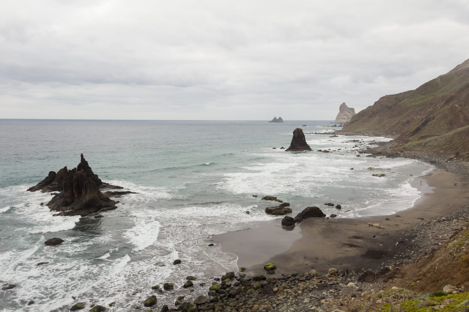
Route Taganana-Benijo
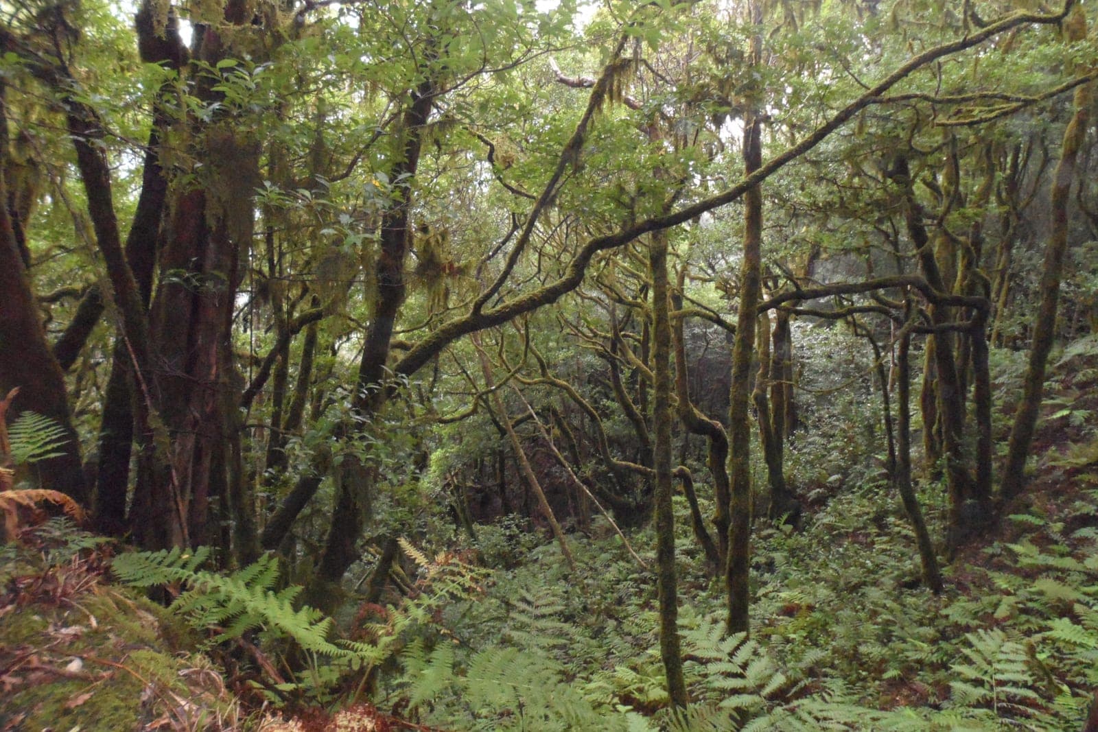
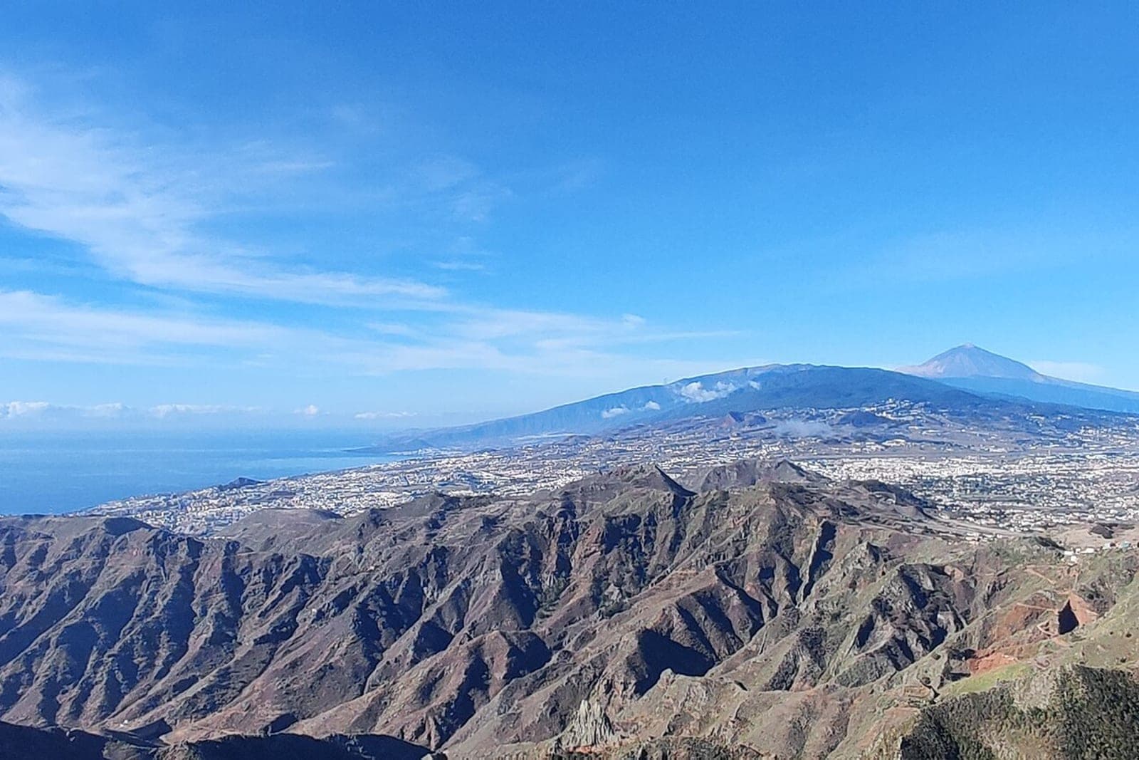
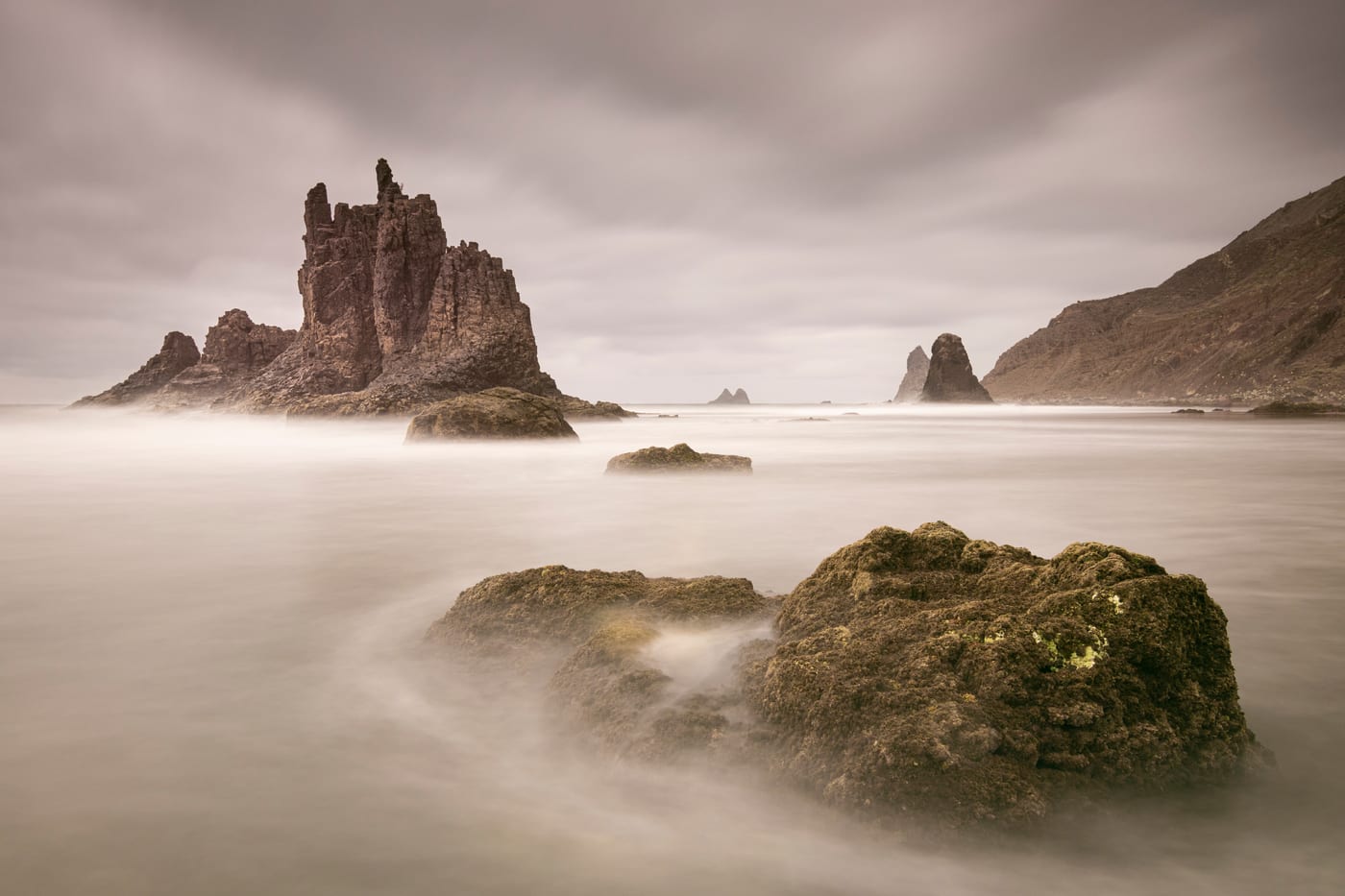
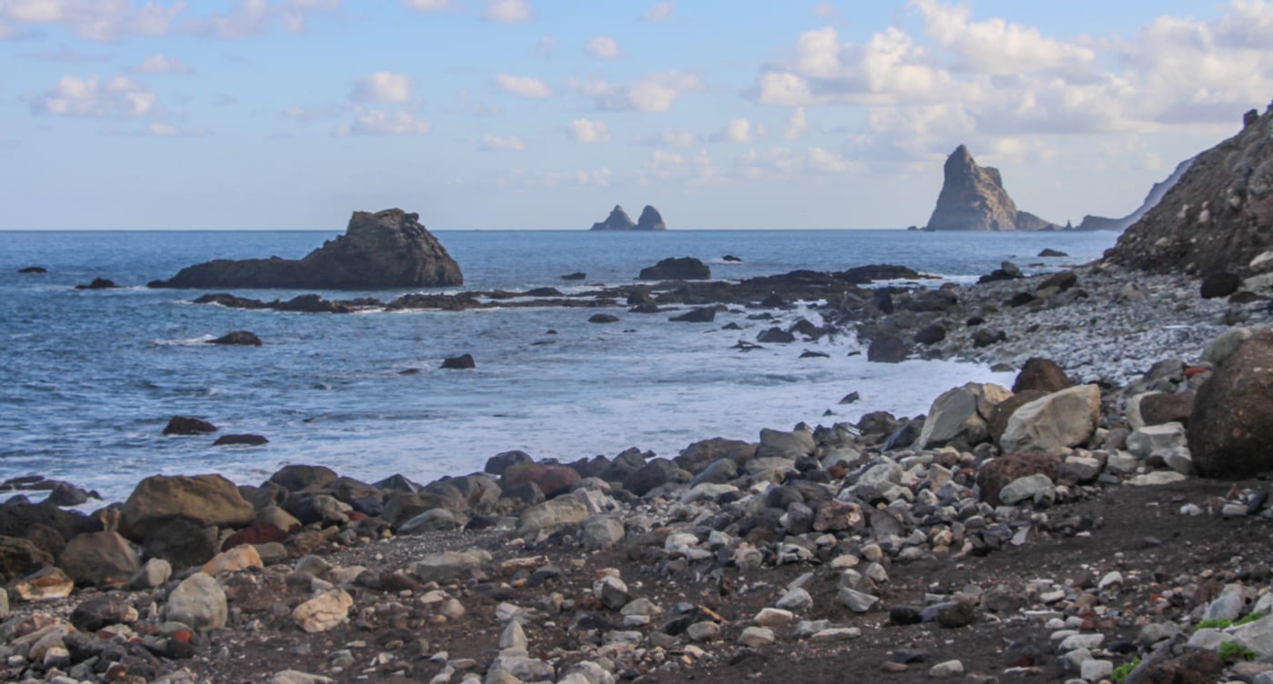
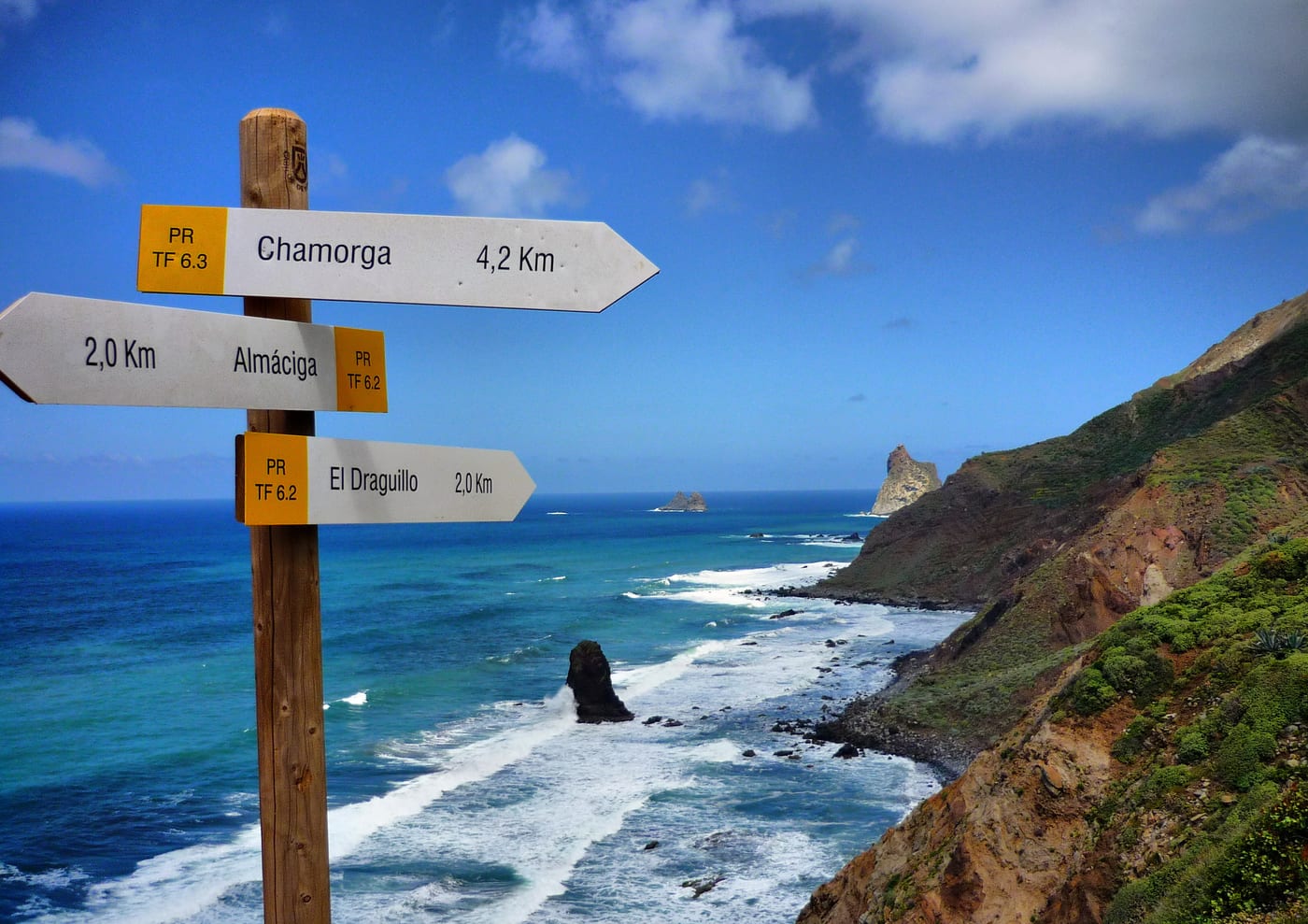
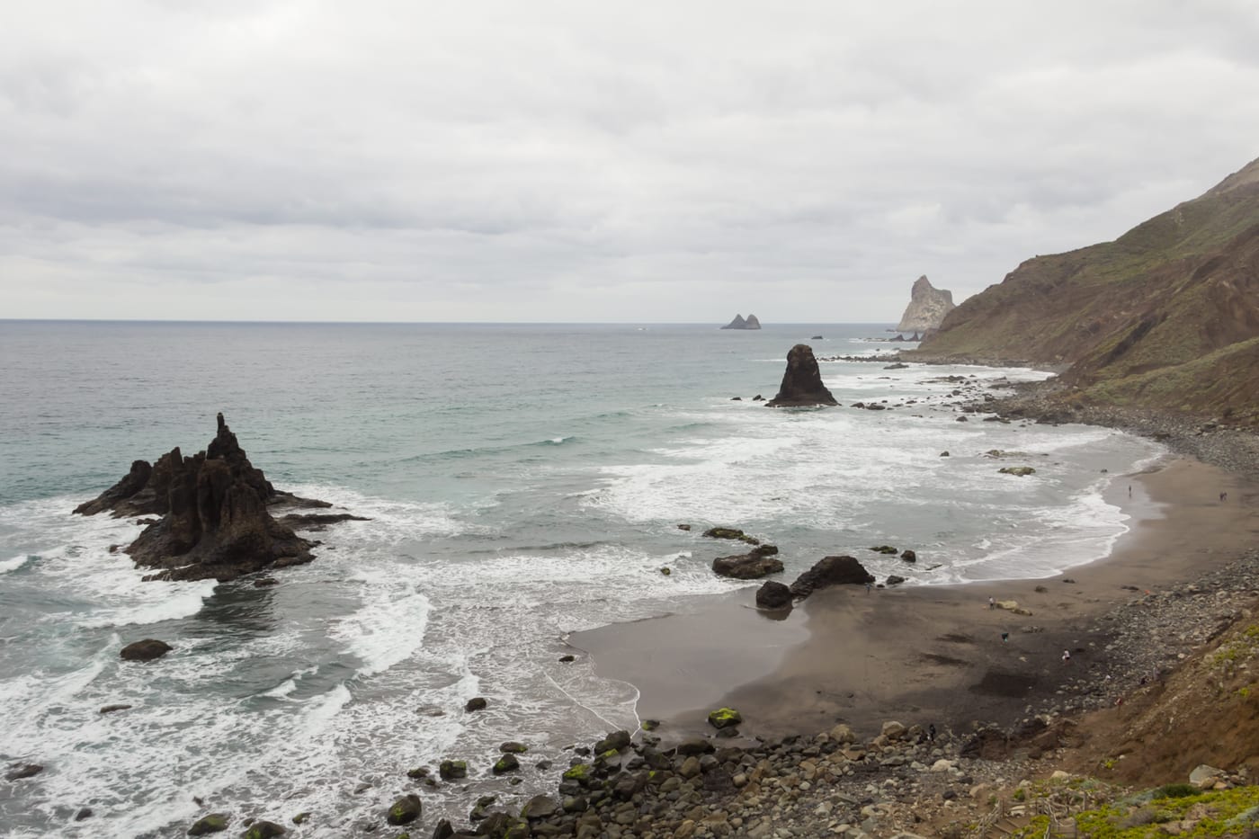
L'itinéraire relie le village de pêcheurs de Taganana à la zone de Benijo le long de la côte nord du massif d'Anaga, dans la municipalité de Santa Cruz de Tenerife, traversant d'anciennes terrasses de culture, des bananeraies et les hameaux d'Almaciga et Roque de las Bodegas. Le parcours fait partie du réseau de sentiers du Parc Rural d'Anaga ; la section côtière est balisée comme PR-TF 06.2 (Roque de las Bodegas - Almaciga - Benijo - El Draguillo), environ 9 km de point à point et de difficulté modérée, identifiée par des marques blanches et jaunes. Benijo est une plage sauvage de sable noir célèbre pour les Roques de Benijo, qui émergent de l'océan et en font l'un des endroits les plus photographiés de l'île, surtout au coucher du soleil.
Cependant, l'accès direct à la plage est fermé au public depuis le 8 juillet 2024 en raison du risque d'éboulements sur la pente à côté des escaliers d'entrée, une situation qui continue en attendant les travaux de stabilisation du talus (déclarés d'urgence par la mairie en mai 2026). L'environnement conserve un fort caractère rural et naturel, avec des dragonnades et une végétation typique d'Anaga.
Galerie
Informations essentielles
Accessibilité
En voiture depuis Santa Cruz, prenez la TF-11 jusqu'à San Andres et, de là, la TF-12 qui monte vers El Bailadero ; après le tunnel d'El Bailadero, rejoignez la TF-134, qui descend vers Taganana, Almaciga et Benijo. Le stationnement est limité, avec peu de places, à côté du restaurant El Mirador (zone de Benijo) et se remplit rapidement en haute saison et les week-ends. En transport public, il existe le bus TITSA ligne 946 (Intercambiador de Santa Cruz - San Andres - Cruce El Bailadero - Taganana - Almaciga), depuis lequel il faut continuer à pied. Le terrain est constitué de sentiers et d'escaliers, sans accessibilité pour les personnes à mobilité réduite.
Niveau de Risque
IMPORTANT : l'accès à la plage de Benijo est fermé par ordre de la mairie de Santa Cruz depuis juillet 2024 en raison du risque d'éboulements de rochers sur la pente, une fermeture qui reste en vigueur ; respectez les clôtures et la signalisation, ne descendez pas sur le sable et soyez extrêmement prudent en raison des vagues, des courants et des chutes de pierres sur tout le tronçon côtier.
Expériences Similaires
Que faire à Santa Cruz de Tenerife

Retraite de yoga dans les montagnes d'Anaga
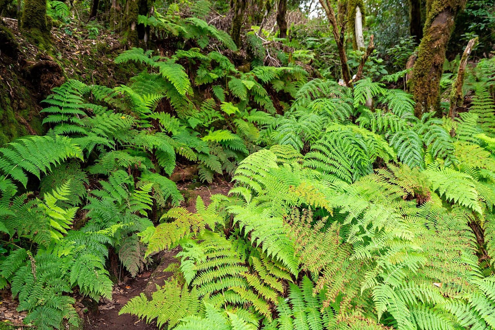
Visite guidée du Parque Rural de Anaga
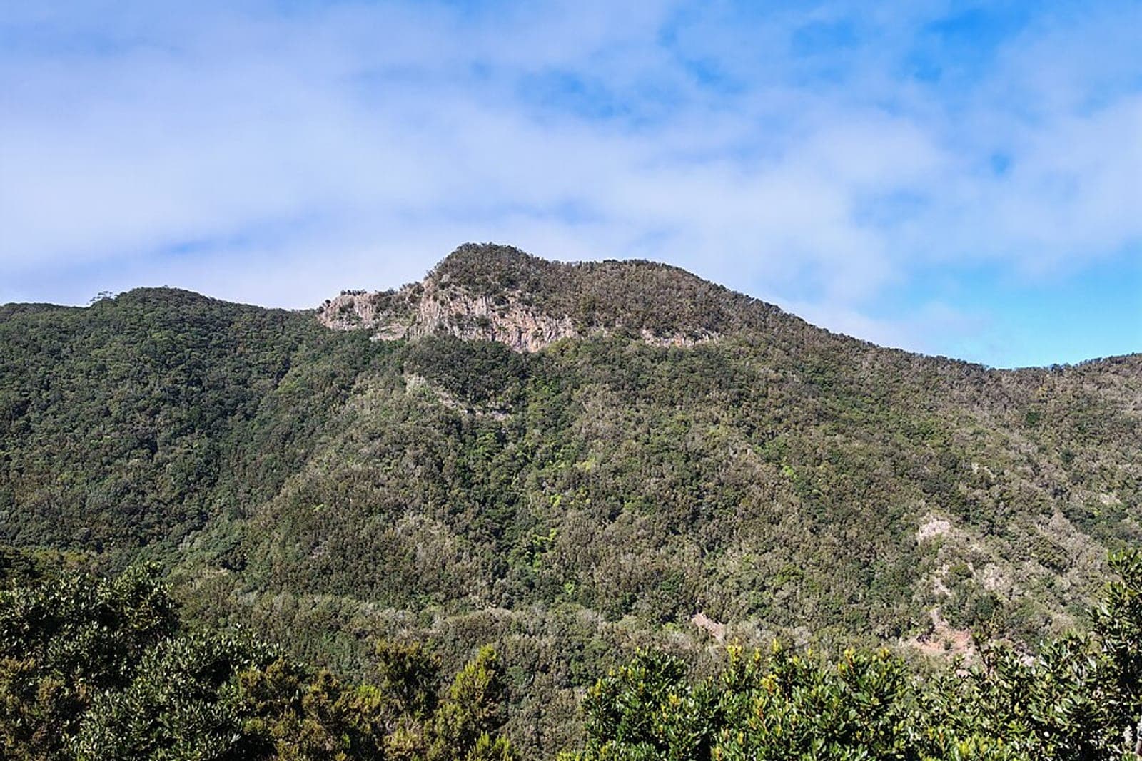
Retraite de méditation à Anaga
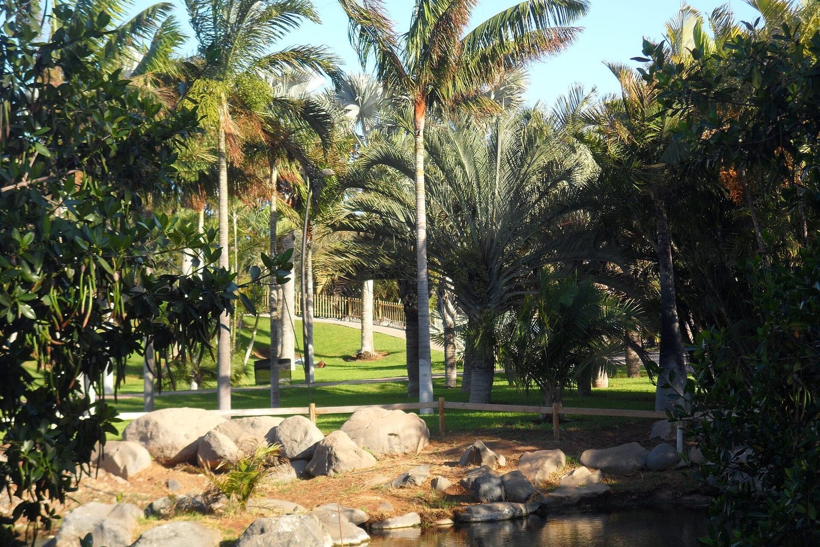
Palmetum, Santa Cruz
Excursions & activités
Réservez tours et excursions avec annulation gratuite.
Voir sur GetYourGuideUne entreprise ici ?
Mettez-vous en avant sur cette page et touchez des milliers de voyageurs.
Annoncez ici