Royal Road of Chasna
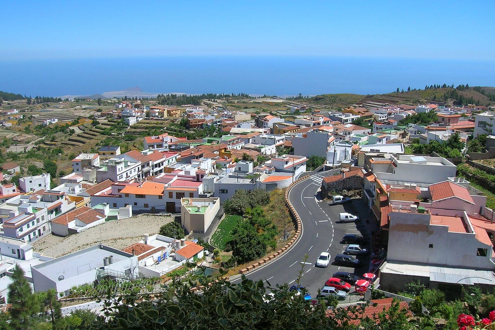
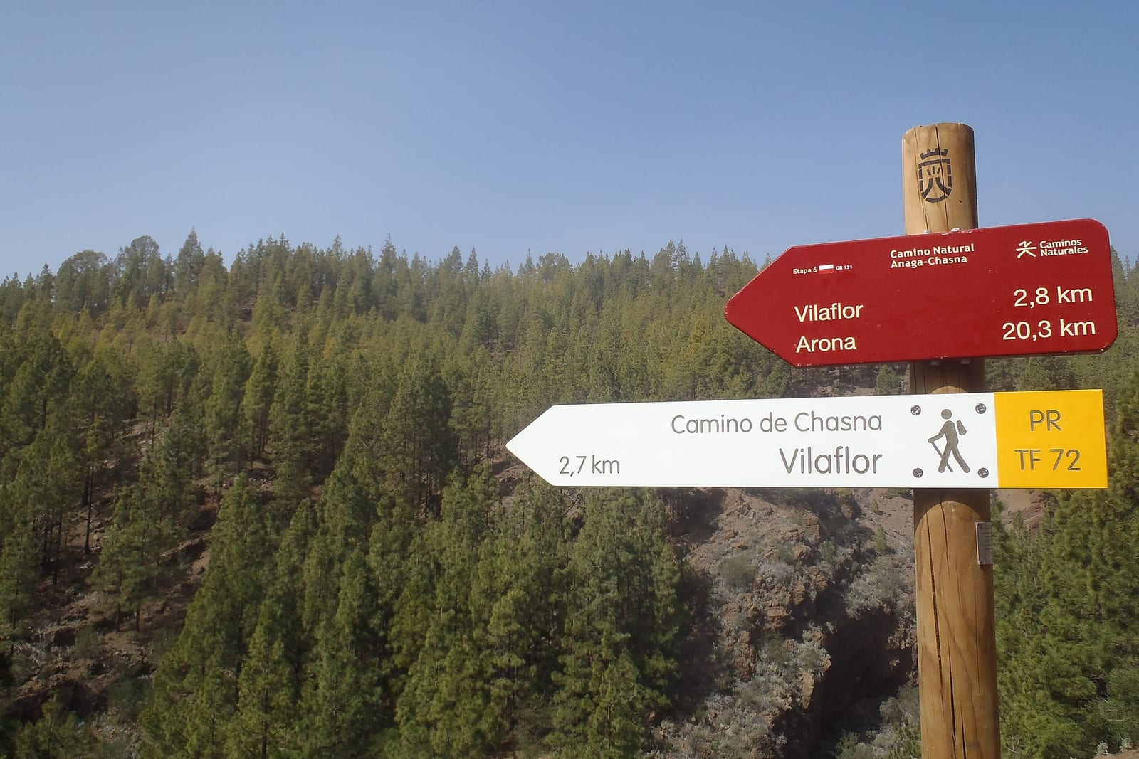
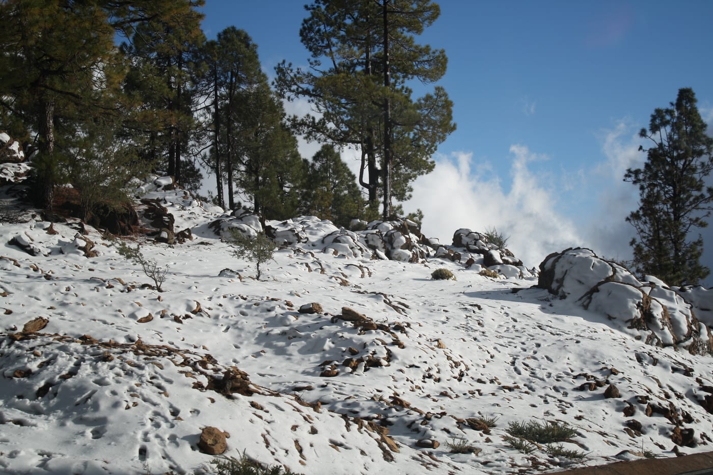
The Camino Real de Chasna is an ancient communication route with more than 500 years of history that linked the north and south of Tenerife, used for centuries by muleteers and shepherds for the transport of people, livestock, and goods across the island. Today, its section from Vilaflor de Chasna is traversed via the marked trail PR-TF 72 (Camino de Chasna - Paisaje Lunar), a circular route of about 12.9 km and between 4 and 5 hours of duration, with medium-high difficulty. The route starts from Plaza de San Pedro de Vilaflor (around 1,420 m), accesses via Camino del Atajo —part of the historic Camino Real— and ascends through Canarian pine forests, ravines like Las Mesas, and old rural houses up to about 1,967 m, within the Corona Forestal Natural Park.
On the descent, you reach the Los Escurriales viewpoint, next to the unique Paisaje Lunar, a volcanic formation of whitish eroded ashes over half a million years old, before returning to the starting point.
Gallery
Essential information
Accessibility
Vilaflor can be reached by car via the TF-21 road (about 23 km from Tenerife South Airport) or by TITSA bus line 482 (Los Cristianos-Vilaflor Centro); the PR-TF 72 trail starts at Plaza de San Pedro, next to the church, where there is parking in the town center. It is not accessible for PRM: the route is mountainous, with steep slopes and a dirt and stone surface.
Risk Level
Demanding mountain trail, with about 7 km of continuous ascent, an accumulated elevation gain of about 780 m, and altitudes close to 2,000 m: requires good physical condition, suitable footwear, sufficient water, sun protection, and calculating daylight hours before starting the route.