Barranco de Añavingo
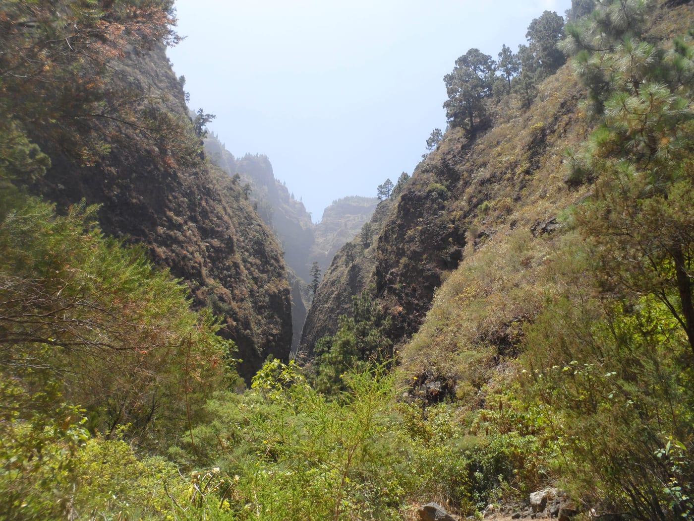
It is a linear mountain trail with a continuous ascent but with little elevation gain. The first part is very simple and well-marked (historic streets, gofio mill, aqueduct, terraces, water galleries) until reaching the sanctuary of San Agustín, at the end of the ravine. The final section, already within the bed, becomes complicated with uneven terrain, loose and slippery stones, and some landslides, so appropriate footwear, carrying water, and exercising caution are advisable; it is not recommended to enter it in the rain.
Essential information
Accessibility
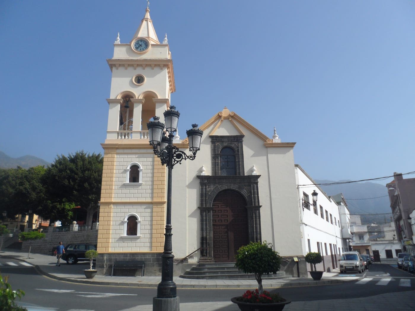
On foot from the center of Arafo (Plaza de San Juan Degollado), go up La Libertad street and then Eduardo Curbelo street, passing old washhouses and other water heritage elements, until the asphalt ends (canal area) and the ravine trail begins. By car, you can search the map for "Camino Barranco de la Piedra, Arafo," which leads to a dirt clearing (with a large chestnut tree and a fork) where the route starts; there is no accessibility for people with reduced mobility, as it is a mountain trail along the ravine bed.
Risk Level
It is a linear mountain trail with a continuous ascent, and although the first part is simple, the final section within the ravine bed becomes complicated with uneven terrain, so appropriate footwear, water, and avoiding it during rain or risk of flooding are advisable.