Teno Alto Trail
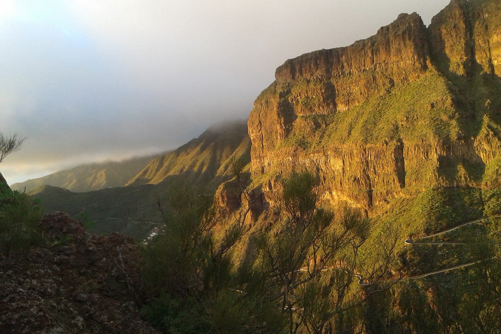
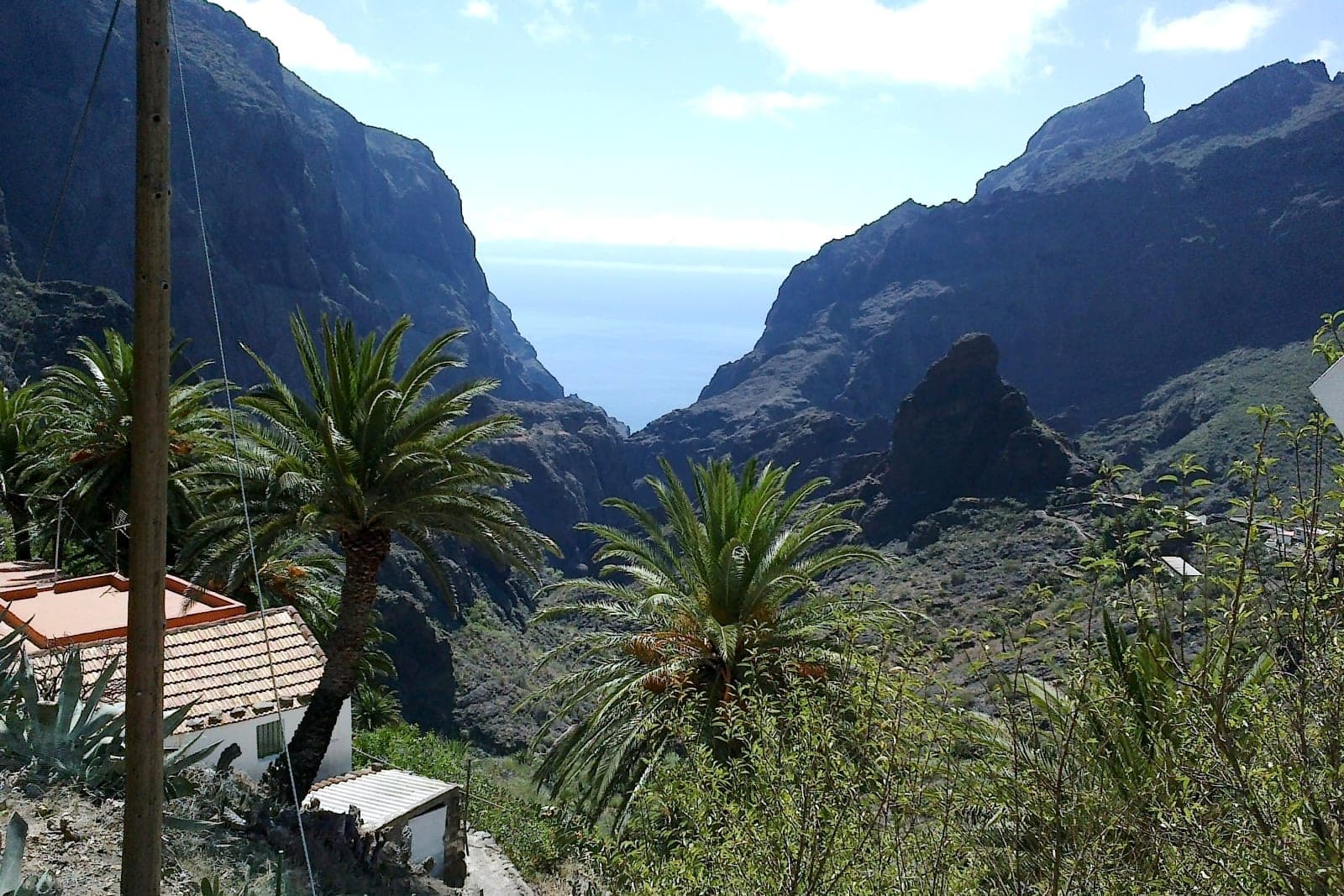
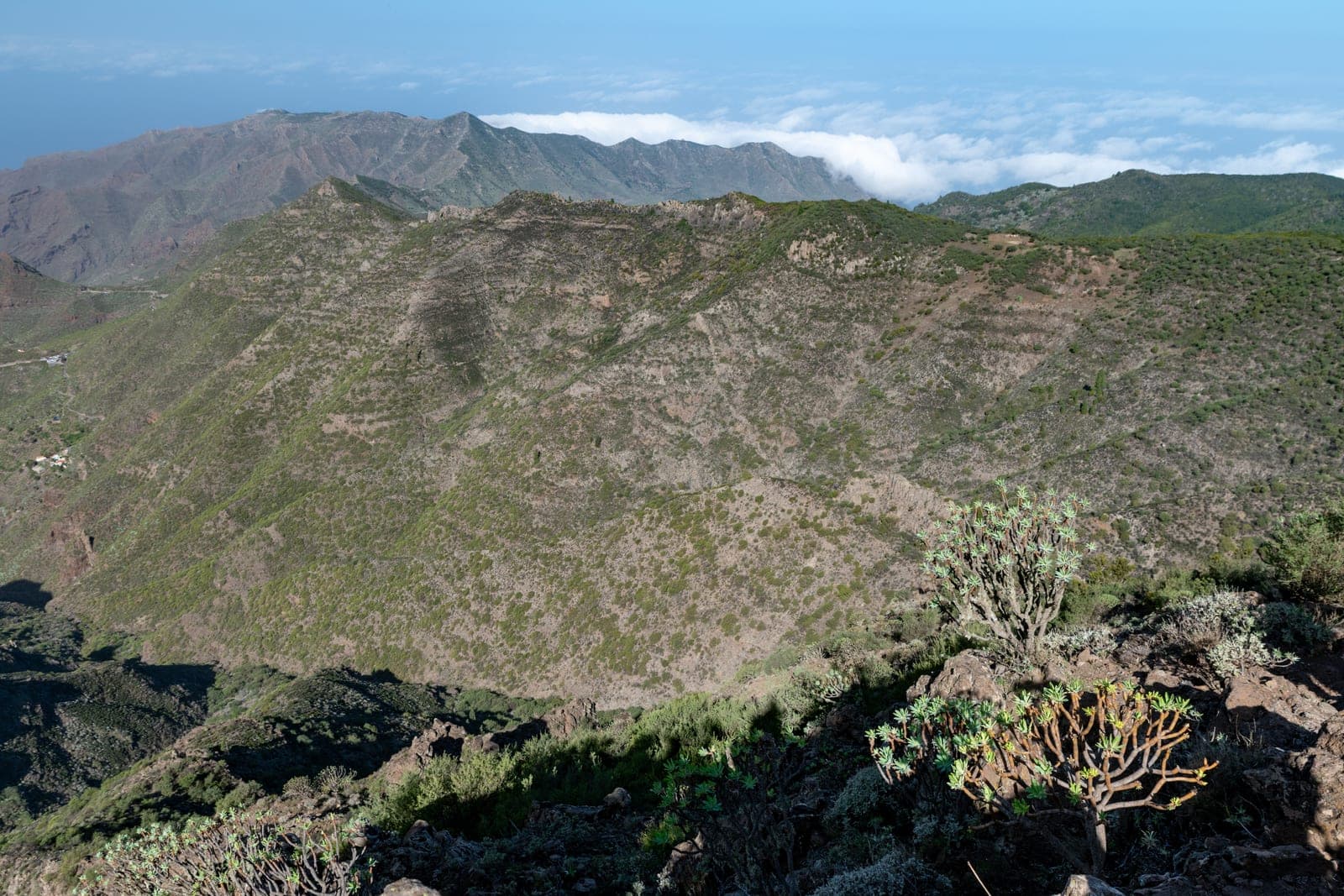
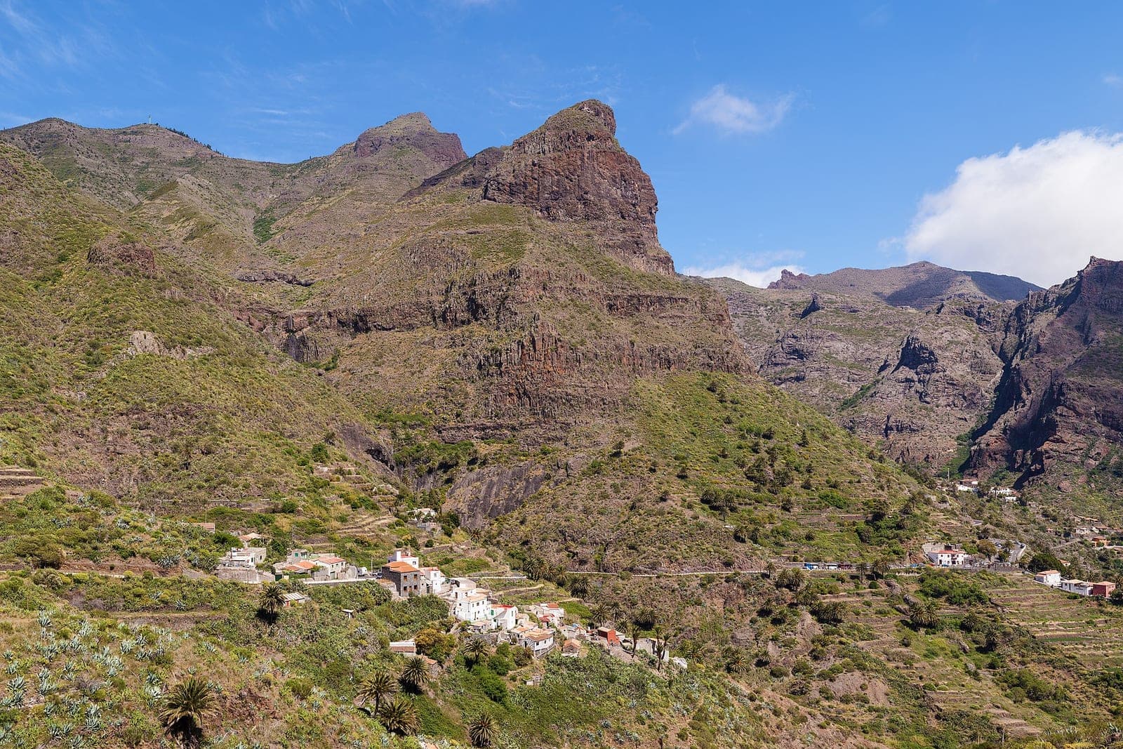
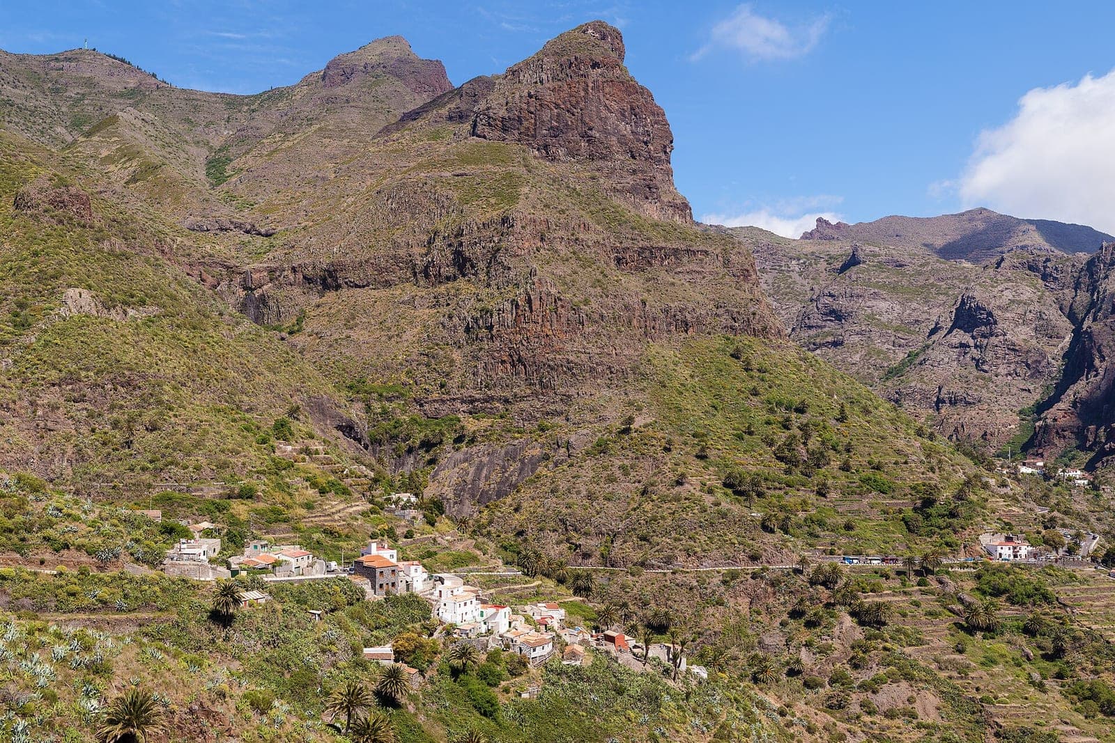
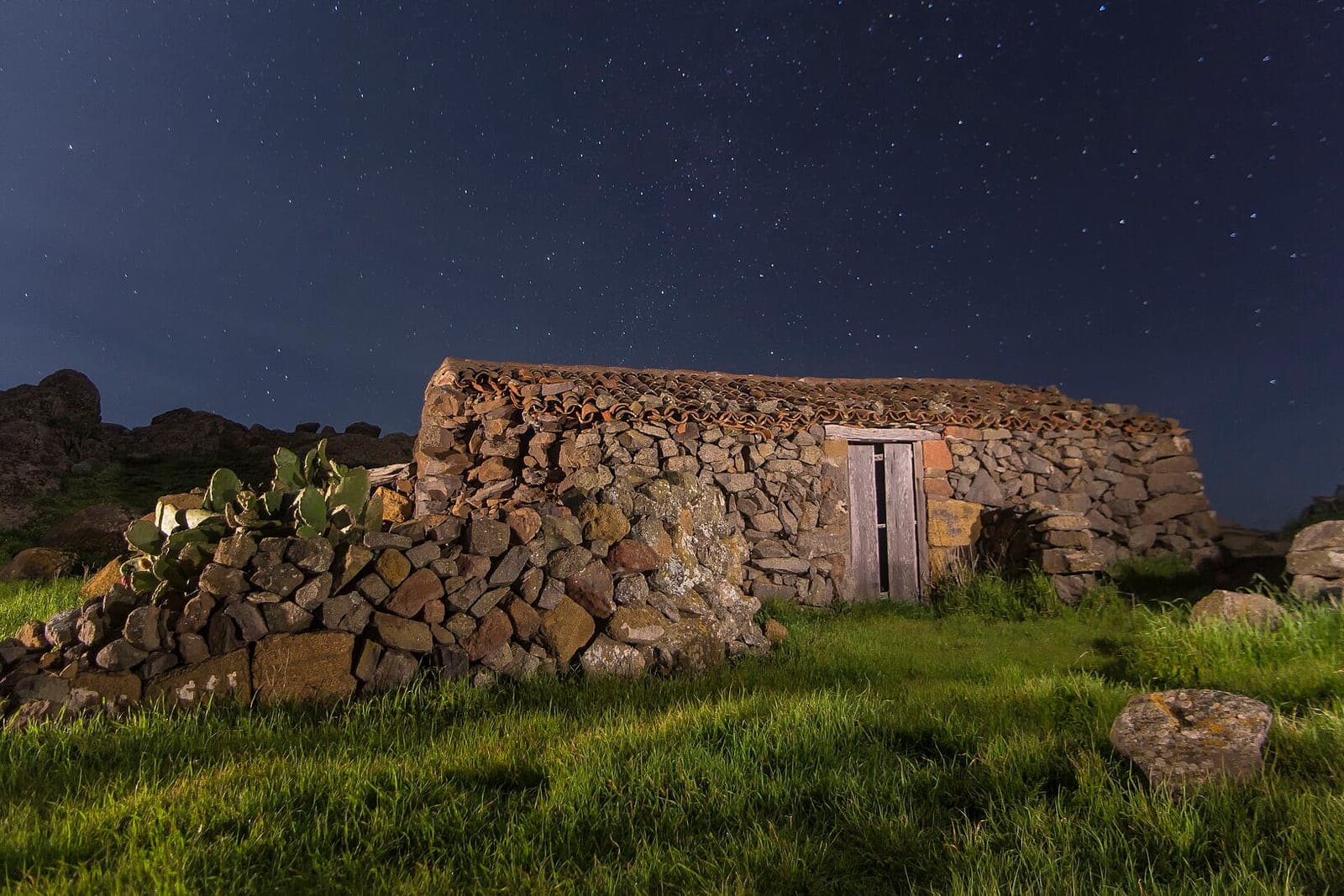
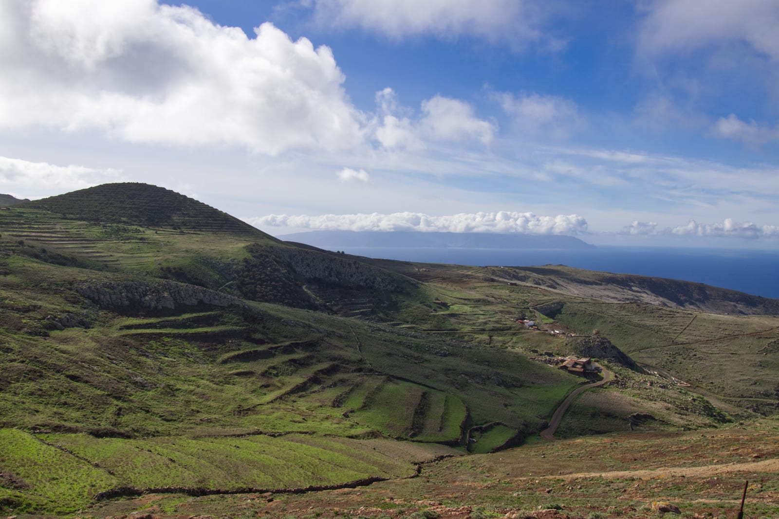
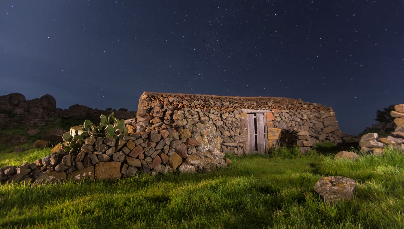
The Teno Alto Trail traverses the heart of the Teno Rural Park, in the northwestern tip of Tenerife (municipality of Buenavista del Norte), a high rural landscape formed by ancient grazing lands, dry stone walls, and terraces that preserve the traditional character of the area. The usual starting point is the hamlet of Los Bailaderos, known for its artisanal goat cheese and the Venta de Teno. There is a self-guided circular trail of low difficulty (around 1.5 hours, on tracks with almost imperceptible slopes) with several interpretative stops about traditional houses, threshing floors, pens, and cisterns, as well as longer and medium difficulty routes that connect Teno Alto with El Palmar, the Baracan Summits, and the Callejon de Teno via the historic Callejon de Teno (PR-TF 57), or that descend to Buenavista del Norte via the ancient Camino del Risco (PR-TF 58).
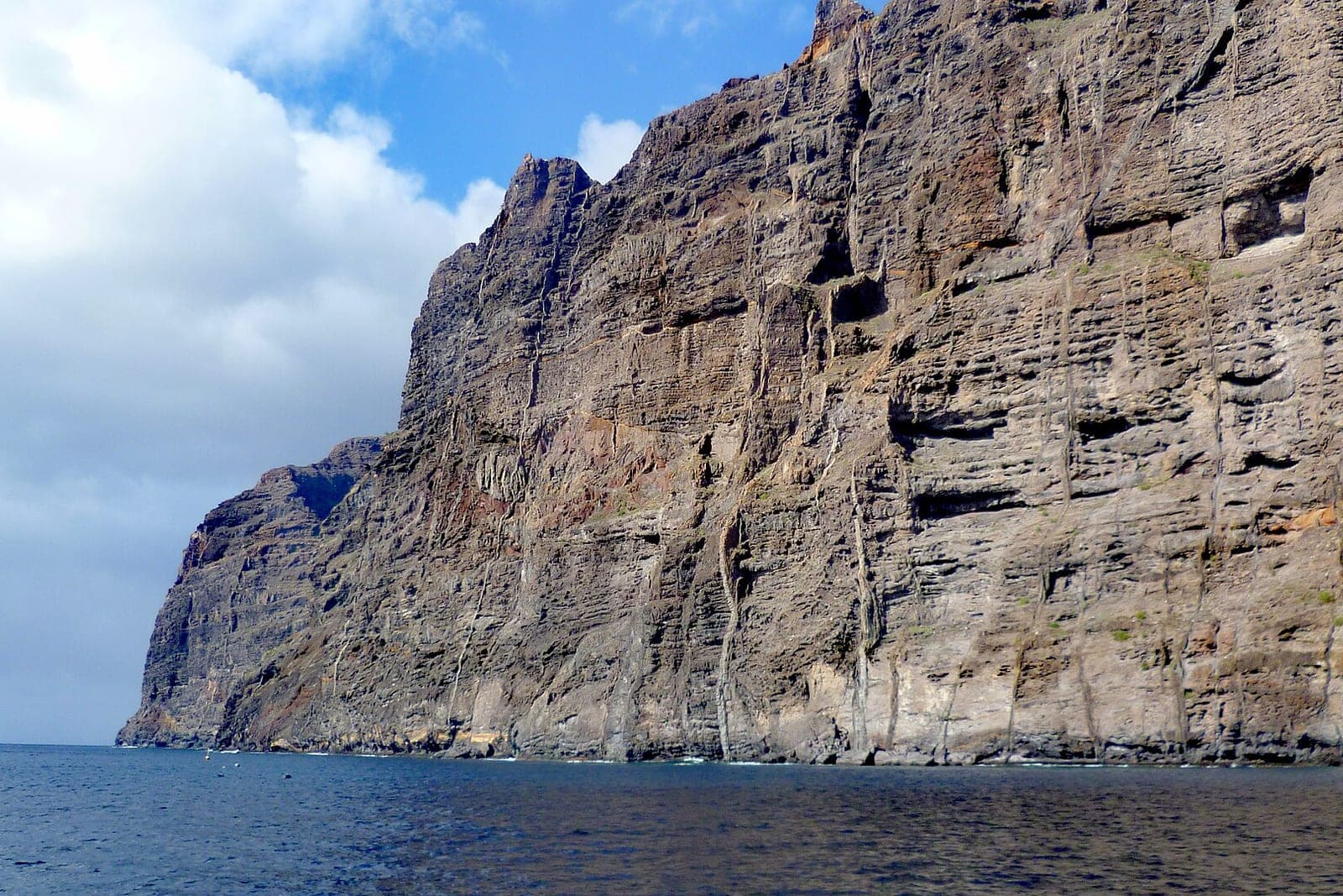
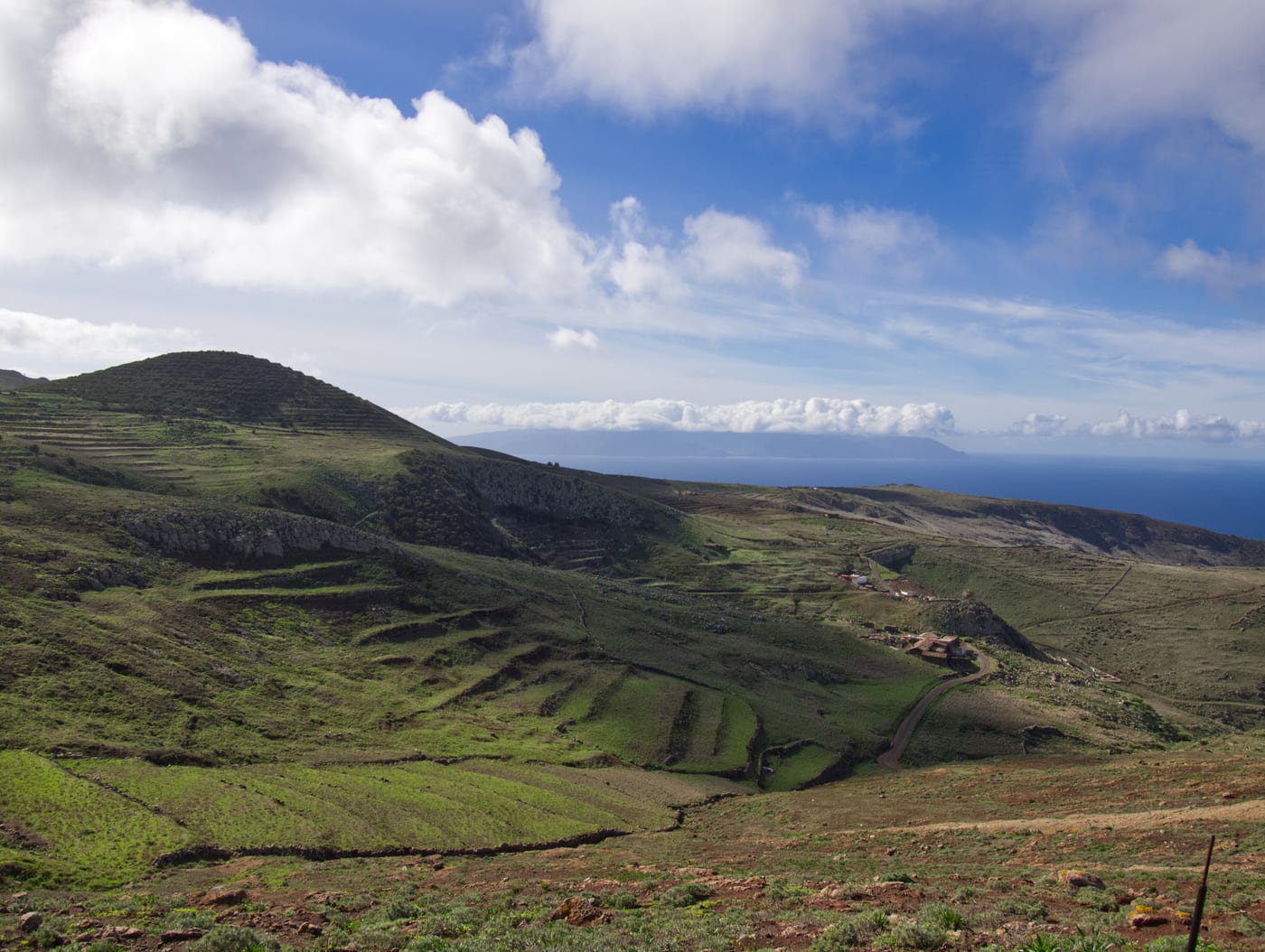
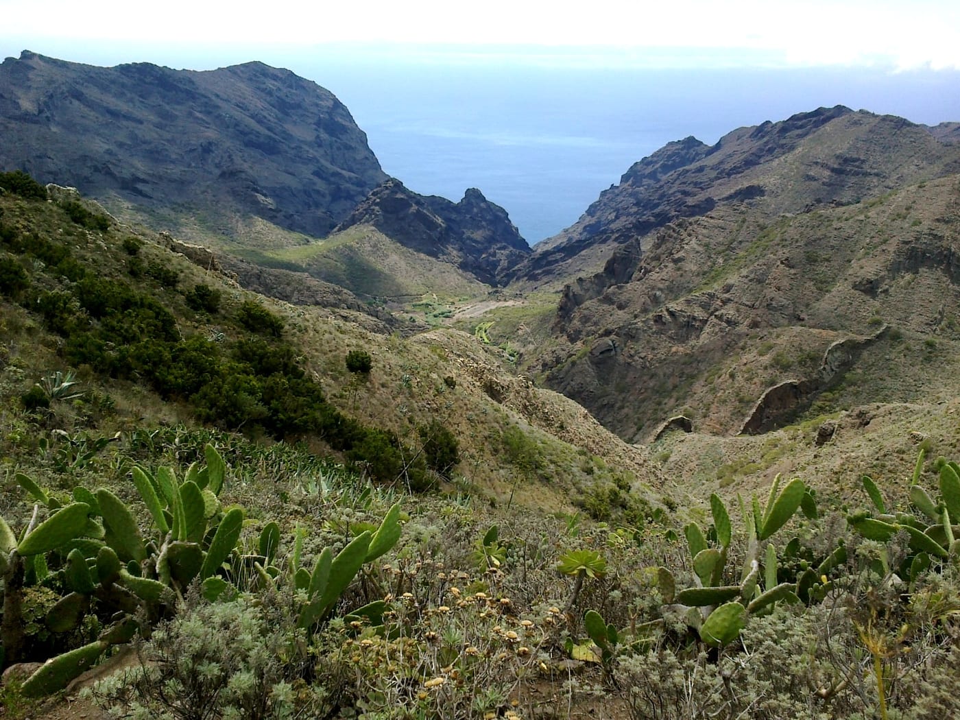
From the high points, there are wide views of the Atlantic, with the island of La Gomera in the background, and the rugged reliefs of the massif. It is a protected area of great natural and ethnographic value, so it is recommended to respect the environment, livestock, and agricultural properties.
Gallery
Essential information
Accessibility
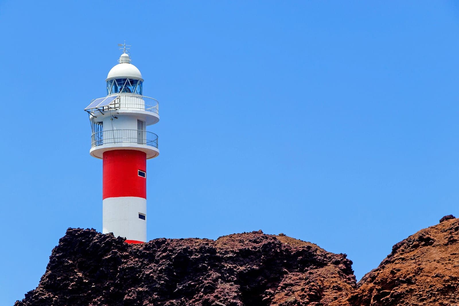
By car from Buenavista del Norte, take the TF-436 (Masca/El Palmar road) and, in the El Palmar valley, the detour towards the hamlet of Teno Alto, where there is parking next to Los Bailaderos and in the Los Pedregales Recreational Area; note, this is NOT Punta de Teno (the coast, TF-445), which has restricted car access and requires using the shuttle bus. The terrain and the hamlet are not adapted for people with reduced mobility (PRM).
Risk Level
It is a remote mountain route with exposed sections and little shade: bring water, hiking footwear, and sun protection, check the weather (fog and wind are frequent in the massif) and stay on the marked trails near the cliffs.