Saltar al contenido
Experiences
Chinobre Trail, Anaga
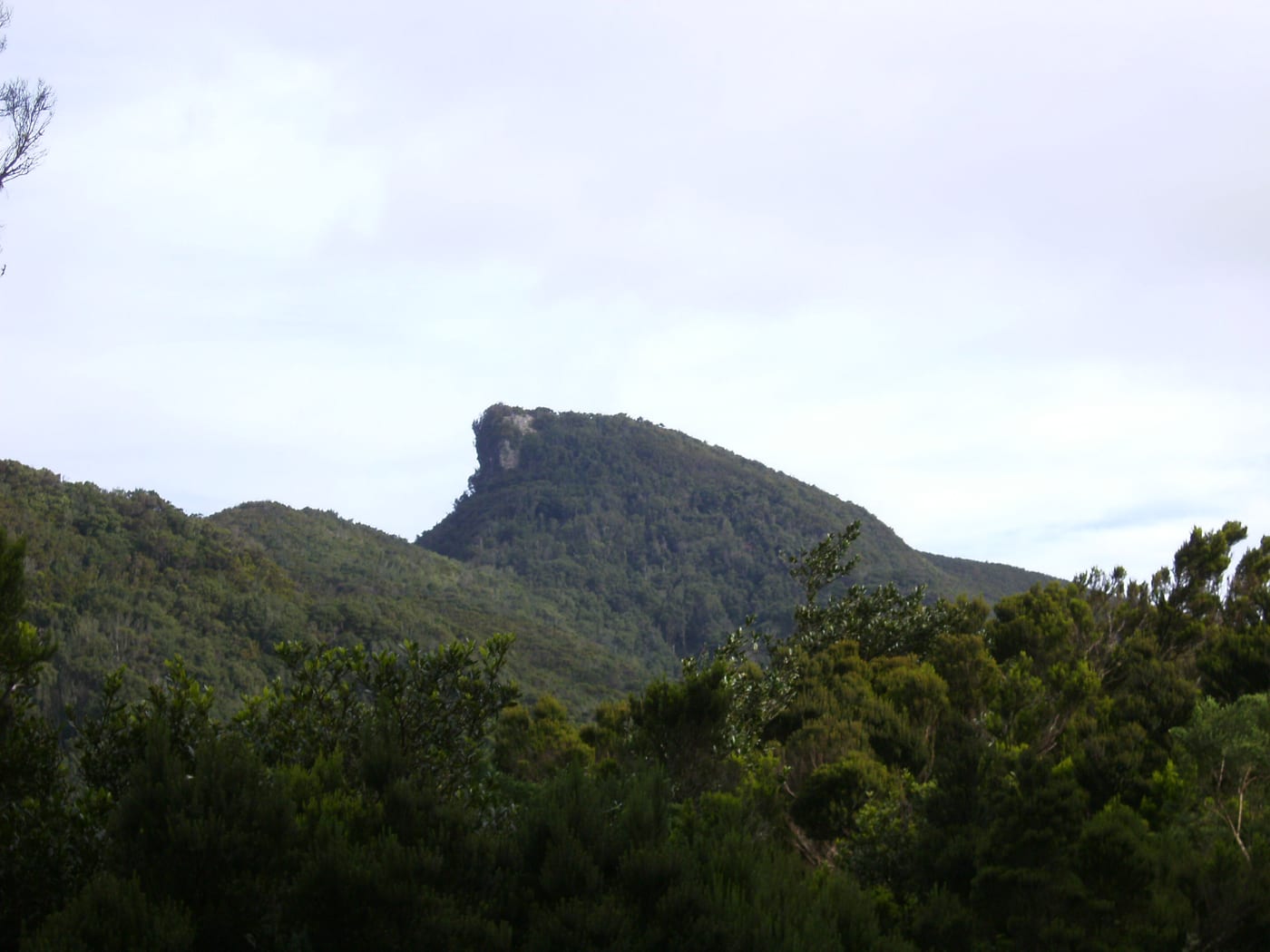
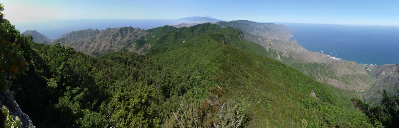
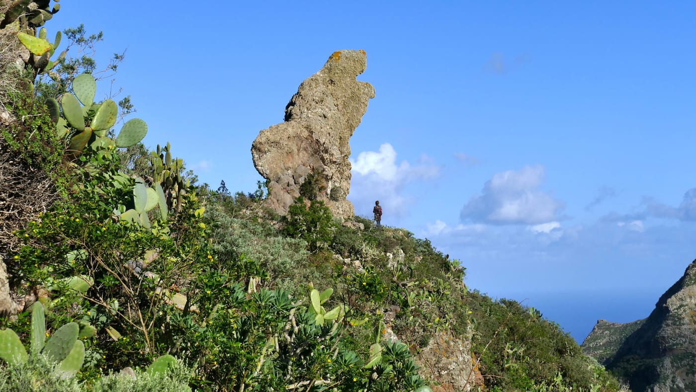
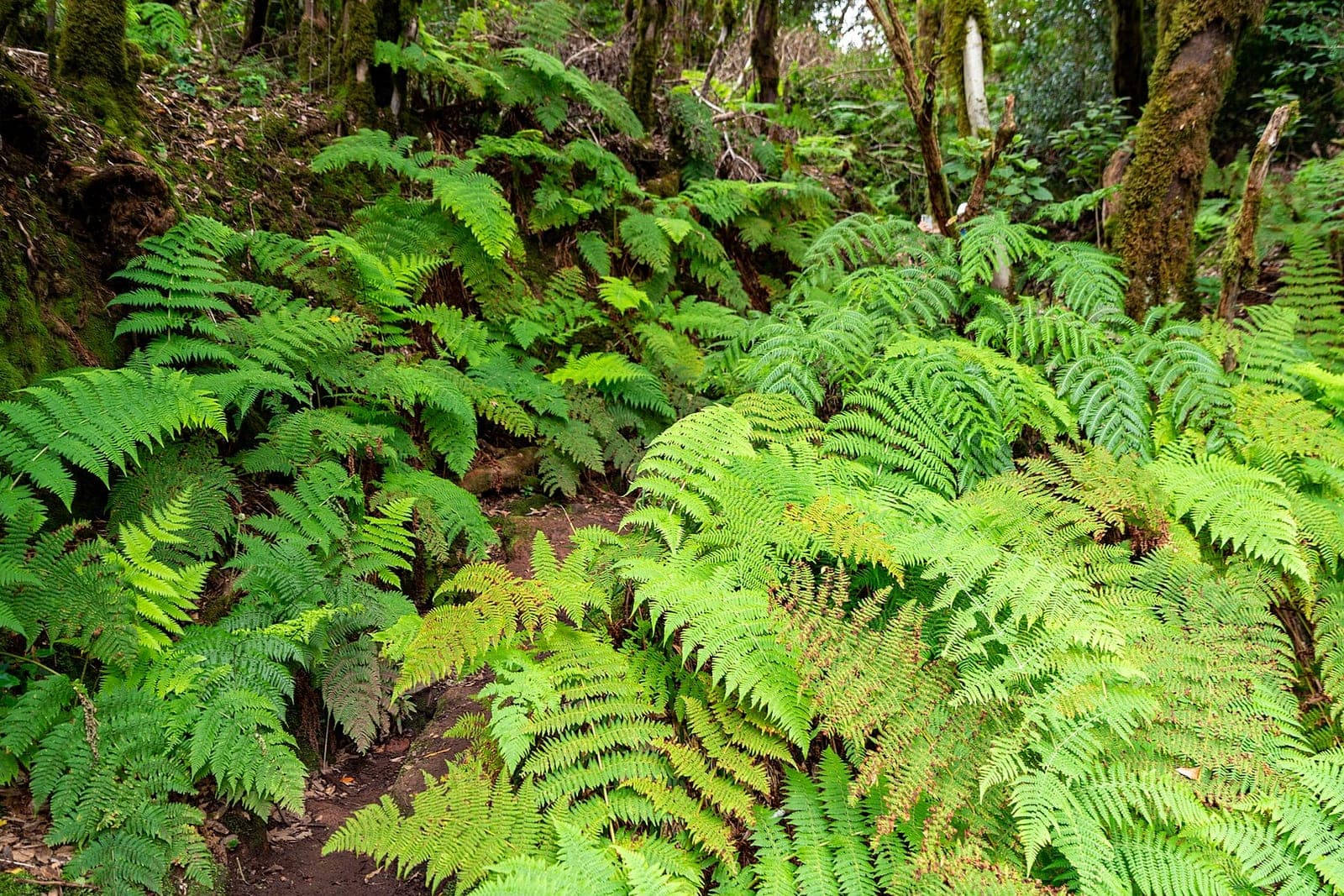
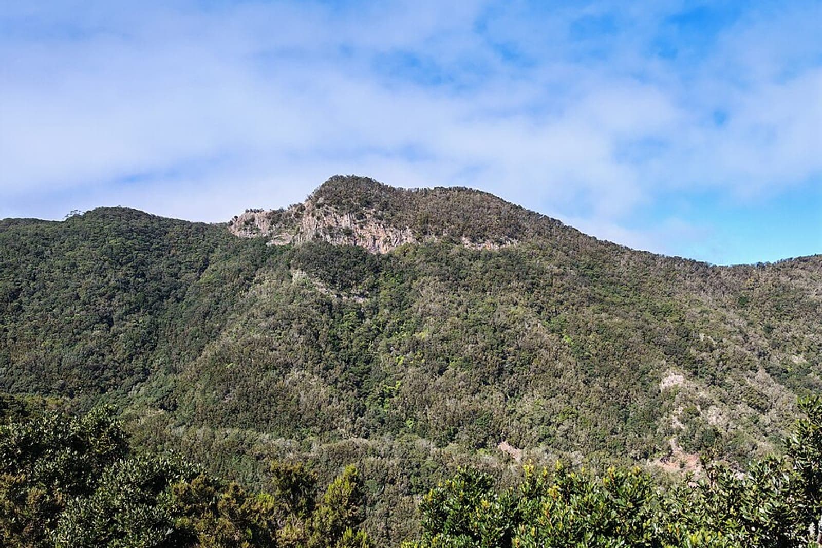
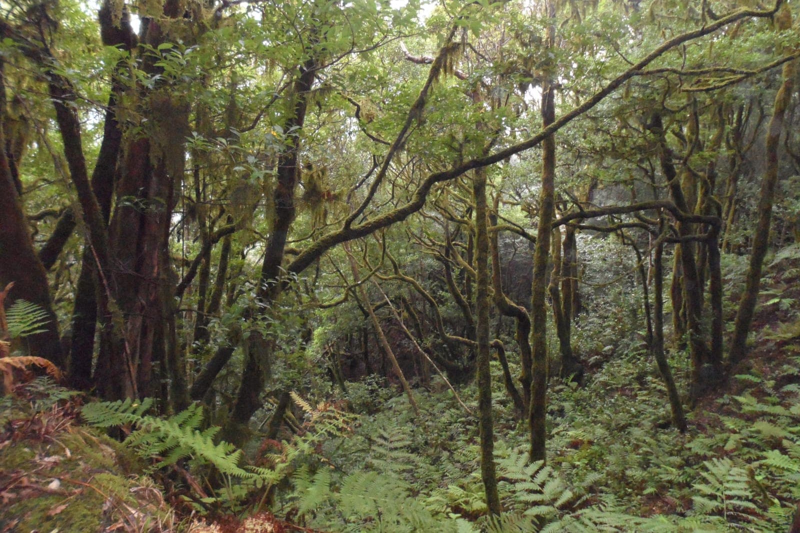
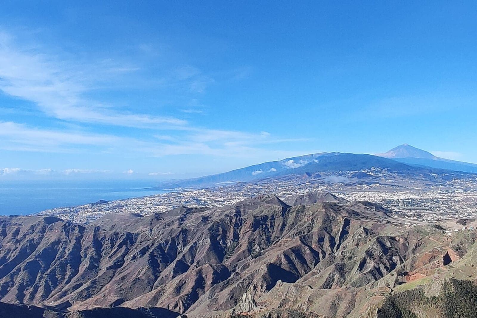
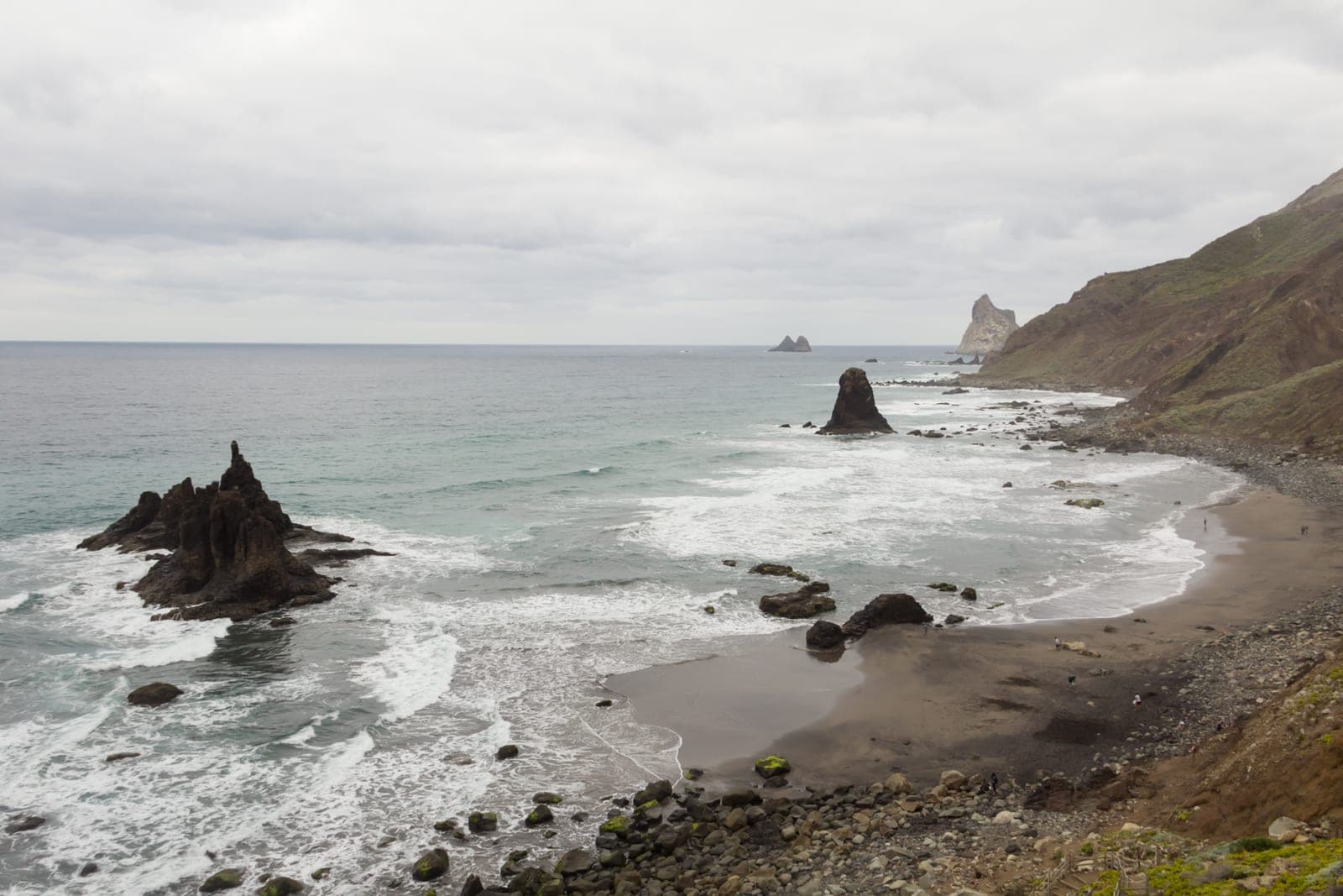
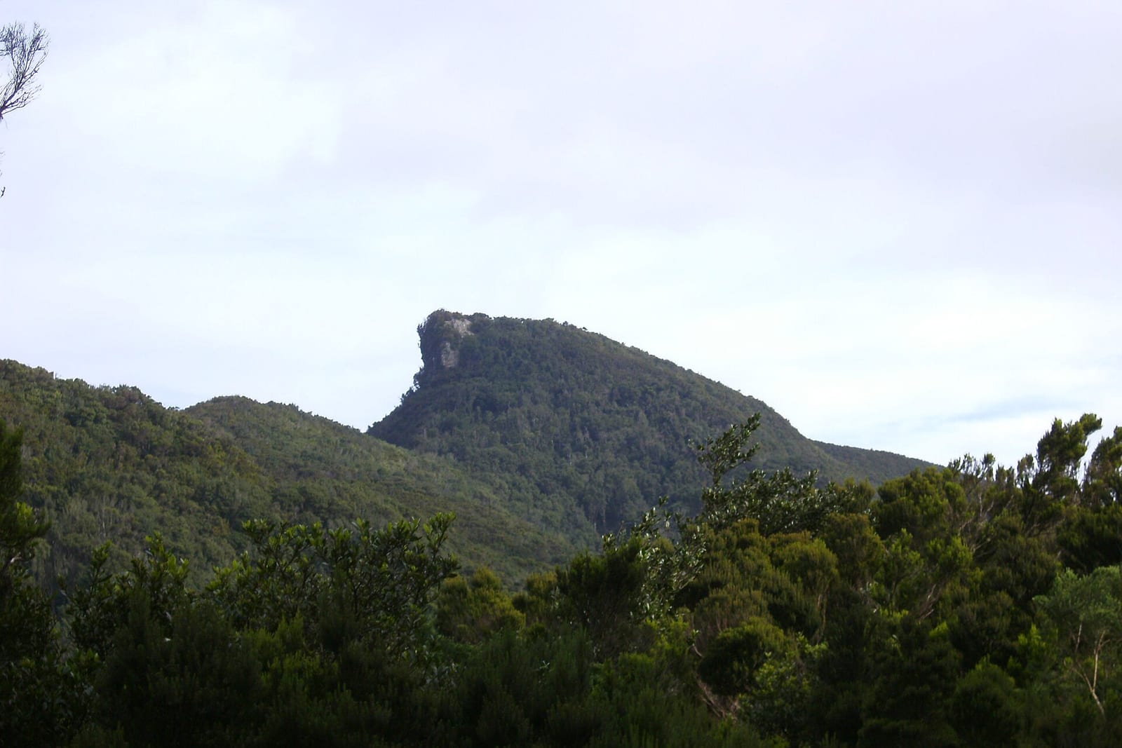
Anaga2 hours
Low-medium difficulty; the trail skirts the Chinobre but climbing to the summit is prohibited.The highest point of Anaga (Cruz de Taborno, 1,020 m) is NOT the Chinobre; this rock reaches 909.7 m.360-degree views over both coasts

La Piedra Chinobre (also Roque Chinobre) is a volcanic rock or pinnacle with an altitude of 909.7 meters (about 910 m) located in the Anaga massif, in the municipality of Santa Cruz de Tenerife. Together with the neighboring Roque de Anambro, it marks the southern boundary of the El Pijaral Integral Natural Reserve and constitutes a landscape landmark of great geological and geomorphological interest. The usual way to approach it is through the Bosque Encantado trail (La Ensillada - Cabezo del Tejo, PR-A 72), a route of about 6-7 km and low-medium difficulty that skirts the Chinobre and crosses the characteristic laurel and fayal-heath forest of Anaga.

To traverse the section that crosses the El Pijaral Integral Natural Reserve, a free prior authorization is mandatory, limited to 45 people per day and managed through the Central Reservation Office of the Cabildo de Tenerife. It is worth clarifying that the Chinobre is not the highest point of the Anaga massif: that elevation corresponds to the Cruz de Taborno, with 1,020 meters.

Gallery

The Chinobre rock, one of the highest peaks of the Anaga massif, near Chamorga (Tenerife).
The Chinobre rock, one of the highest peaks of the Anaga massif, near Chamorga (Tenerife).Winahwaru (CC BY-SA 4.0)
Panoramic view from the Chinobre summit, with the Anaga crests and the coastline in the background (Tenerife).
Panoramic view from the Chinobre summit, with the Anaga crests and the coastline in the background (Tenerife).javiersanp (CC BY-SA 3.0)
The Roque Pilon, one of the sharp crests of the Anaga massif next to Chamorga, surrounded by laurel forest (Tenerife).
The Roque Pilon, one of the sharp crests of the Anaga massif next to Chamorga, surrounded by laurel forest (Tenerife).Puusterke (CC BY-SA 4.0)

Essential information

Accessibility

By car, from Santa Cruz via the TF-12 to the El Bailadero junction and then the TF-123 towards Chamorga, to the La Ensillada area (approx. km 4.8-4.9), where there is a dirt parking lot and wide margins on the road; by public transport, TITSA line 947 (Santa Cruz Interchange - Chamorga) stops at La Ensillada. It is a mountain trail with no accessibility for people with reduced mobility.

Risk Level

Mountain trail in high Anaga: wear appropriate footwear, bring water and warm clothing, as fog and humidity are frequent; the Anambro and Chinobre rocks mark the boundary of the El Pijaral Integral Natural Reserve, and the ascent to the summit itself is restricted to protect endemic species.

Starting price

€0

Leave a review

Share your experience. It will be published after a quick review.